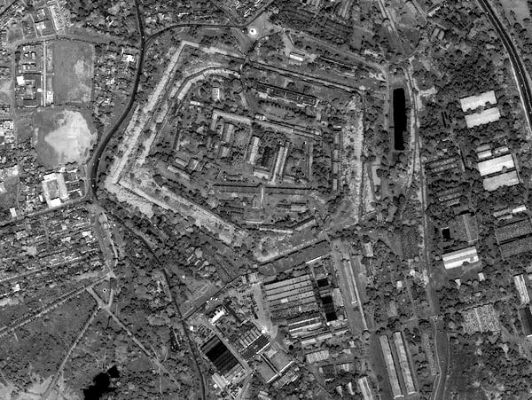
As countrified as the name "Hootenanny" sounds now, the National Geospatial-Intelligence Agency and DigitalGlobe are giving it a high-tech sheen. It's the name of an open source project that provides geospatial big-data analysis via crowdsourcing.
Hootenanny's scalable processing engine and interactive editing interface enable users to quickly blend map features generated from satellite imagery, UAVs and mobile devices, according to NGA.
"The commercialization of GEOINT is leading to exponential growth of publicly available geospatial information," said Chris Rasmussen, NGA's public software development lead. "Hootenanny as an open source project will enable new levels of data sharing across the community that will increase our nation's ability to quickly respond to emerging threats. This is a pro-active move that steers into the collaborative mapping environment to derive more value from unclassified sources."
Hootenanny is available at github.com.


