-
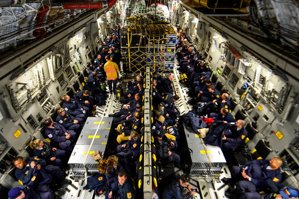
How NGA aided Nepal’s earthquake recovery
Revised maps and geospatial data were key components in the response to the powerful earthquake that struck Nepal in April.
-
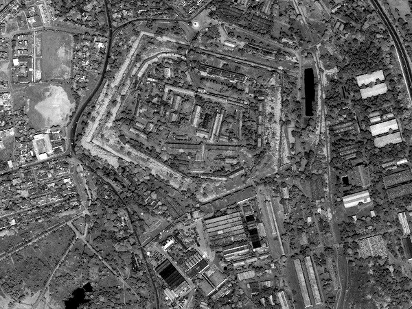
NGA launches ‘Hootenanny’ for geospatial analysis
As countrified as the name “Hootenanny” sounds now, the National Geospatial-Intelligence Agency and DigitalGlobe are giving it a high-tech sheen. It’s the name of an open source project that provides geospatial big-data analysis via crowdsourcing.
-
TASC to support Air Force navigation
TASC will provide updated versions of the technical baseline for the GPS enterprise.
-

How data standards could speed geospatial data sharing
M&S supports both training and C2 worldwide, but both functions suffer from lack of standardized access to data.
-

Canada to buy radar, communications equipment
The flurry of defense acquisitions is connected to Canadian politics.
-
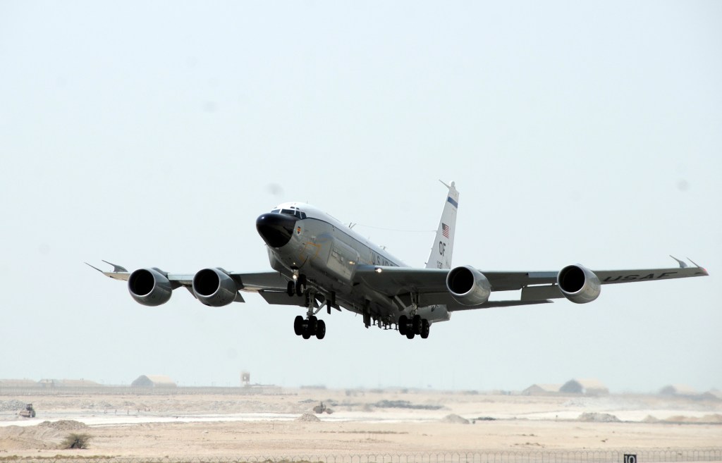
Second British ISR plane heads to Middle East
The first Airseeker is already flying missions against Islamic State forces in Iraq and Syria.
-
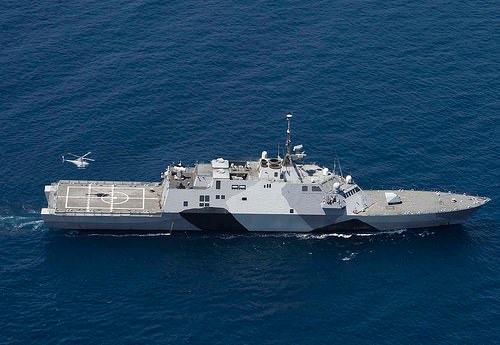
Lockheed takes Navy electronic warfare contract mod
The contract is for Surface Electronic Warfare Improvement Program (SEWIP) Block 2 systems.
-

7 sensors make NASA’s Pluto flyby a science showcase
The instruments are providing a wealth of data and imagery of our solar system’s distant reaches.
-
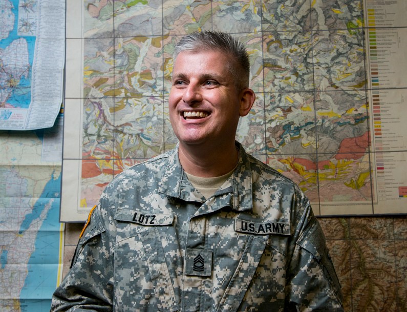
Geospatial cell gets first soldier assigned
The 416th TEC is designed to operate as a joint task force headquarters.
-
How NGA aided Nepal’s earthquake recovery
Revised maps and geospatial data were key components in the response to the powerful earthquake that struck Nepal in April.
-
NGA launches ‘Hootenanny’ for geospatial analysis
As countrified as the name “Hootenanny” sounds now, the National Geospatial-Intelligence Agency and DigitalGlobe are giving it a high-tech sheen. It’s the name of an open source project that provides geospatial big-data analysis via crowdsourcing.
-
TASC to support Air Force navigation
TASC will provide updated versions of the technical baseline for the GPS enterprise.
-
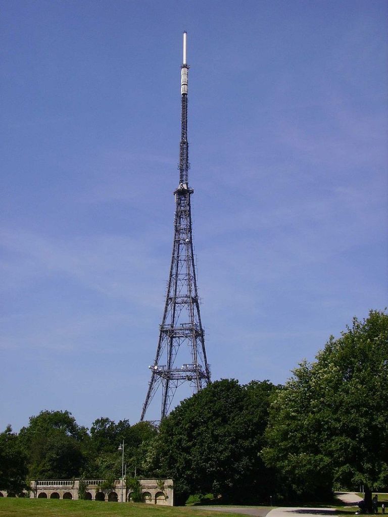
Brits use TV signals to track aircraft
Test tracked 30 aircraft at altitudes of up to 10,000 feet.
-
How data standards could speed geospatial data sharing
M&S supports both training and C2 worldwide, but both functions suffer from lack of standardized access to data.
-
Canada to buy radar, communications equipment
The flurry of defense acquisitions is connected to Canadian politics.
-
Second British ISR plane heads to Middle East
The first Airseeker is already flying missions against Islamic State forces in Iraq and Syria.
-
Lockheed takes Navy electronic warfare contract mod
The contract is for Surface Electronic Warfare Improvement Program (SEWIP) Block 2 systems.
-
7 sensors make NASA’s Pluto flyby a science showcase
The instruments are providing a wealth of data and imagery of our solar system’s distant reaches.
-
Geospatial cell gets first soldier assigned
The 416th TEC is designed to operate as a joint task force headquarters.
-
How NGA aided Nepal’s earthquake recovery
Revised maps and geospatial data were key components in the response to the powerful earthquake that struck Nepal in April.
-
NGA launches ‘Hootenanny’ for geospatial analysis
As countrified as the name “Hootenanny” sounds now, the National Geospatial-Intelligence Agency and DigitalGlobe are giving it a high-tech sheen. It’s the name of an open source project that provides geospatial big-data analysis via crowdsourcing.
-
TASC to support Air Force navigation
TASC will provide updated versions of the technical baseline for the GPS enterprise.
-
Brits use TV signals to track aircraft
Test tracked 30 aircraft at altitudes of up to 10,000 feet.
-
How data standards could speed geospatial data sharing
M&S supports both training and C2 worldwide, but both functions suffer from lack of standardized access to data.
-
Canada to buy radar, communications equipment
The flurry of defense acquisitions is connected to Canadian politics.
-
Second British ISR plane heads to Middle East
The first Airseeker is already flying missions against Islamic State forces in Iraq and Syria.
-
Lockheed takes Navy electronic warfare contract mod
The contract is for Surface Electronic Warfare Improvement Program (SEWIP) Block 2 systems.
-
7 sensors make NASA’s Pluto flyby a science showcase
The instruments are providing a wealth of data and imagery of our solar system’s distant reaches.
-
Geospatial cell gets first soldier assigned
The 416th TEC is designed to operate as a joint task force headquarters.