Abstract: Modeling and simulation (M&S) support both training and command and control (C2) activities in militaries worldwide. Both functions suffer from lack of standardized M&S access to diverse sources of geospatial data. Militaries incur high M&S expenses, quite often due to redundant data collection and data inconsistencies. Users of M&S systems expect but don't always get information that reflects geographic realities in operational areas. Yet the most current operations data that might provide the required accuracy and currency often exists, typically in multiple systems and in multiple formats that are difficult to integrate with the M&S system. Today, militaries around the world have an opportunity to adopt geospatial data standards that enable rapid discovery and sharing of relevant geospatial data, as well as rapid integration, transformation and streaming of geospatial data into M&S applications.
Introduction
M&S practitioners have worked for years to network together modern simulations for training and mission rehearsal. The industry has endeavored to adopt standards for the network protocols and data formats exchanged in simulation federations, but adoption lags.
Poor M&S system interoperability results from:
- Many formats for terrain processing, each specific to a particular simulation.
- Different simulations' incompatible formats.
- Duplicate and poorly correlated source data.
- Simulation formats that are labor and time intensive to create and maintain.
- High cost of generating custom data for simulations.
- Different communities' different data dictionaries and grammars.
The lack of interoperability makes it difficult or impossible to create M&S environments based on the best available geospatial data.
M&S needs geospatial data interoperability
In the past, there were significant differences in M&S, intelligence analysis and C2 operational data because the necessary resolution and data types required by each community varied considerably. Yet for the training, intelligence and C2 communities, most of the effort related to processing data for M&S goes into obtaining, refining, correlating, and conflating geospatial and image source data. The scope of these tasks increases as the sources of geospatial data proliferate and the volume increases geometrically. At the same time data requirements are at once converging and becoming more demanding, which further supports the case for sharing data.
Many M&S systems read a range of both proprietary and open geospatial data formats, such as ESRI Shapefiles, GeoTIFF and DTED. Much geospatial data, however, is not in these de facto standard encodings. In any case, the paradigm for Web-based computing makes servers responsible for outputting data that is encoded in a standard encoding, regardless of how the data is stored. In this new paradigm, the onus is no longer on the client to interpret different formats. Also, there is a gap in catalog services; there is no "publish/find/bind" framework for M&S data. The old clearinghouse model for discovering and downloading batch data files is still used to transport very large data files. Such transfers aren't part of the new "network is the computer" model where clients and services exchange queries and responses that typically involve not whole data layers but information about specific geospatial features.
To help close those gaps, M&S systems are beginning to support OGC standards that are open and provider-independent.
Demonstrations
At the December 2013 I/ITSEC Conference, members of the U.S. Geospatial Intelligence Foundation (USGIF) Modeling and Simulation Working Group and the OGC showed a hypothetical scenario of a military rescue operation against terrorists in the Middle East. The demonstration showed how to discover, transform, and stream geospatial data from the Internet into M&S applications. The demonstration also showed how open standards enable direct flow of real-world maps, Earth images, sensor data, ocean data and weather data into M&S applications. There also was a direct flow of M&S-generated data into applications that incorporated simulated features into their databases.
At GEOINT 2014, companies Envitia, CAE and VTMAK demonstrated an M&S proof of concept with the support of the OGC. One provider showed how to discover a range of relevant geospatial data and M&S data for a planned operation. Participants previewed the data and exported it in a format required by two different simulation environments.
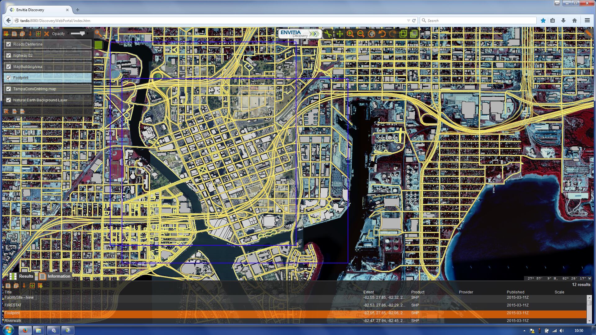
Data Discovery for the GEOINT 2014 M&S demonstration using OGC CSW and Scenario Display.
Photo Credit: Envitia
For U.K. Defence, Envitia undertook proof of concept experimentation integrating current geospatial data into simulation environments using OGC Standards. The proof of concept showed how combatants in the field equipped with augmented reality could rehearse possible outcomes.

Data Discovery for the GEOINT 2014 M&S demonstration using OGC CSW and Scenario Display.
Photo Credit: Envitia
Common DataBase
Training and simulation provider CAE developed and has maintained the Common DataBase (CDB) specification. CDB defines a standard model and approach for synthetic environments for simulation and modeling, including high-speed indexing and access. CAE developed CDB under contract to U.S. Special Operations Command (SOCOM).
CDB stores geospatial data required for M&S using a tiling system. The tiling system manages the data for any given location at many levels of resolution and across many dimensions. Practitioners can fuse CDB data in real time into a 3-D environment.
Although CDB has become a de facto standard, it has not been universally accepted throughout the M&S community. For instance, the U.S. Army Synthetic Environment Core (SE Core) program has adopted a format referred to as Master Database (MDB). Other formats and compiled databases exist for various modeling and simulation systems and hardware platforms.
Recent progress
In recent months, OGC member organizations drafted a charter to form the OGC Common Data Base (CDB) Standards Working Group (SWG). The SWG's goal is to develop and propose one or more candidate standards that define a common model for encoding synthetic environments that enables interoperability among M&S systems while also providing access to geospatial data available through interfaces that implement OGC standards. The SWG will begin by examining and considering the existing CDB specification. An early deliverable of the SWG will be a recommendation of which specific OGC standards products and documents are appropriate for conversion of the existing CDB specification so that CDB fits more closely within the architecture of OGC standards and practices.
This effort is not the only one aimed at giving M&S applications access to resources that implement OGC standards. The U.S. Department of Defense (DoD) developed the Joint Training Data Services (JTDS) to support rapid scenario generation for the U.S. DoD M&S training community. The JTDS Common Terrain Generation Service (C-TGS) is a cloud-based service for the war fighter. C-TGS provides a robust capability to search, discover and retrieve M&S terrain data. JTDS based the C-TGS standard data structure on OGC-approved formats served by OGC Web Services. The result has helped to normalize terrain data across the Force Development simulations. One of the main lessons from the development of the C-TGS is that using open standards reduces development time.
Future direction
The vision: CDB will help drive requirements for best practices in using other OGC standards, such as the OGC Web Feature Service (WFS) Interface Standard, to populate a CDB structured database. There are also uses for other OGC standards in the M&S world, such as GeoPackage, Web Processing Service (WPS) Interface Standard and the Open Modeling Interface (OpenMI) Standard. Any high-end simulation system using OGC's anticipated CDB-derived standard(s) will dynamically update the terrain and instantly serve it to any OGC-compliant client. This flexibility and scalability could also support the requirement for sets of data packaged together to deliver to simulators.
The M&S community is beginning to work with their operations counterparts on data interoperability. This cooperation should increase production efficiency as well as the consistency of data (see figure below). For example, co-production of M&S and C2 geospatial data generation are critical to the current U.S. Army Simulation to Mission Command Interoperability Overarching Integrated Product Team (SIMCI OIPT) Geospatial Initiative.

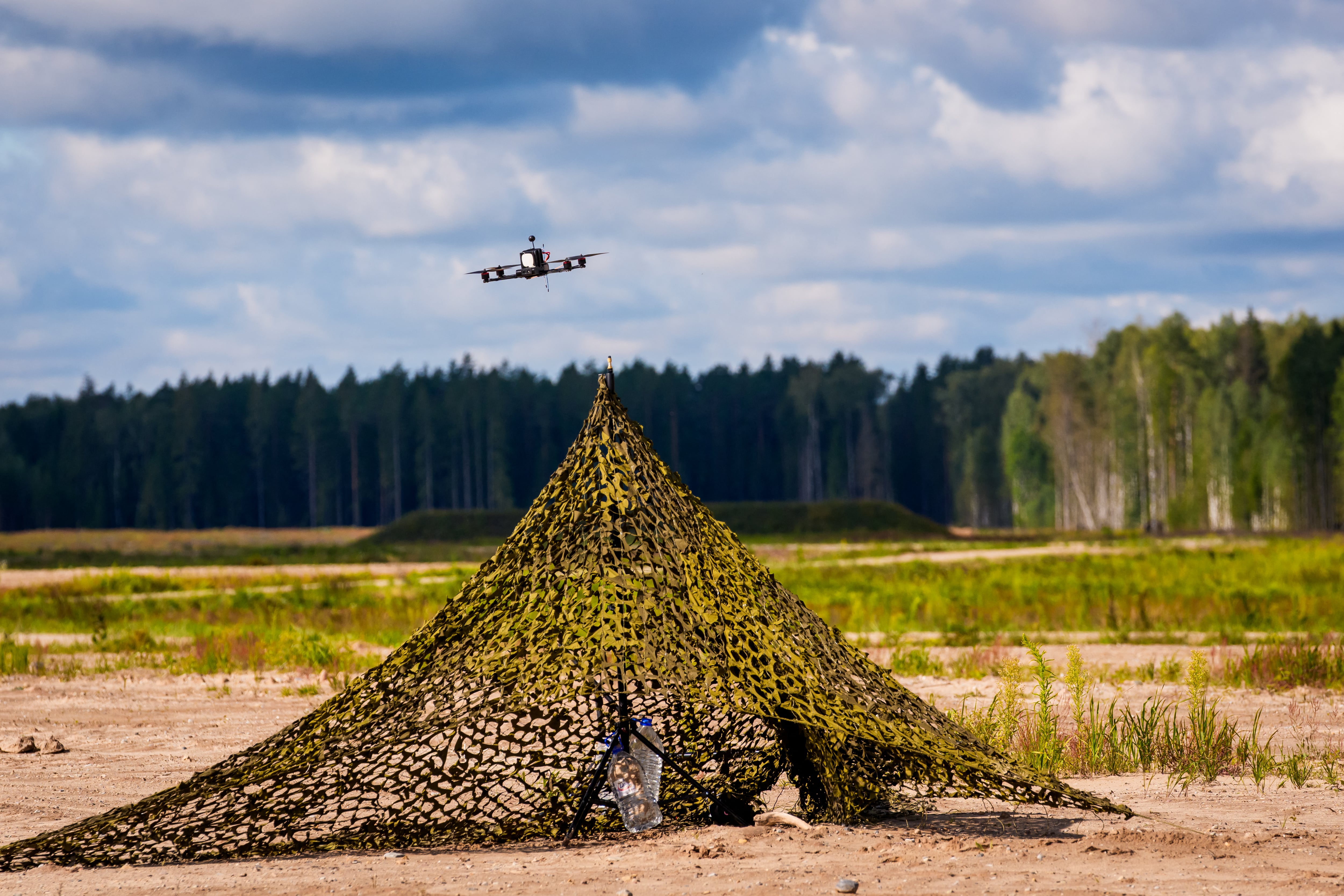
Current efforts to improve data interoperability will greatly reduce the time and cost of correlation and enhancement.
Photo Credit: KaDSci, LLC
Scott Simmons is executive director of the standards program and Ron Exler is senior consultant at the Open Geospatial Consortium.