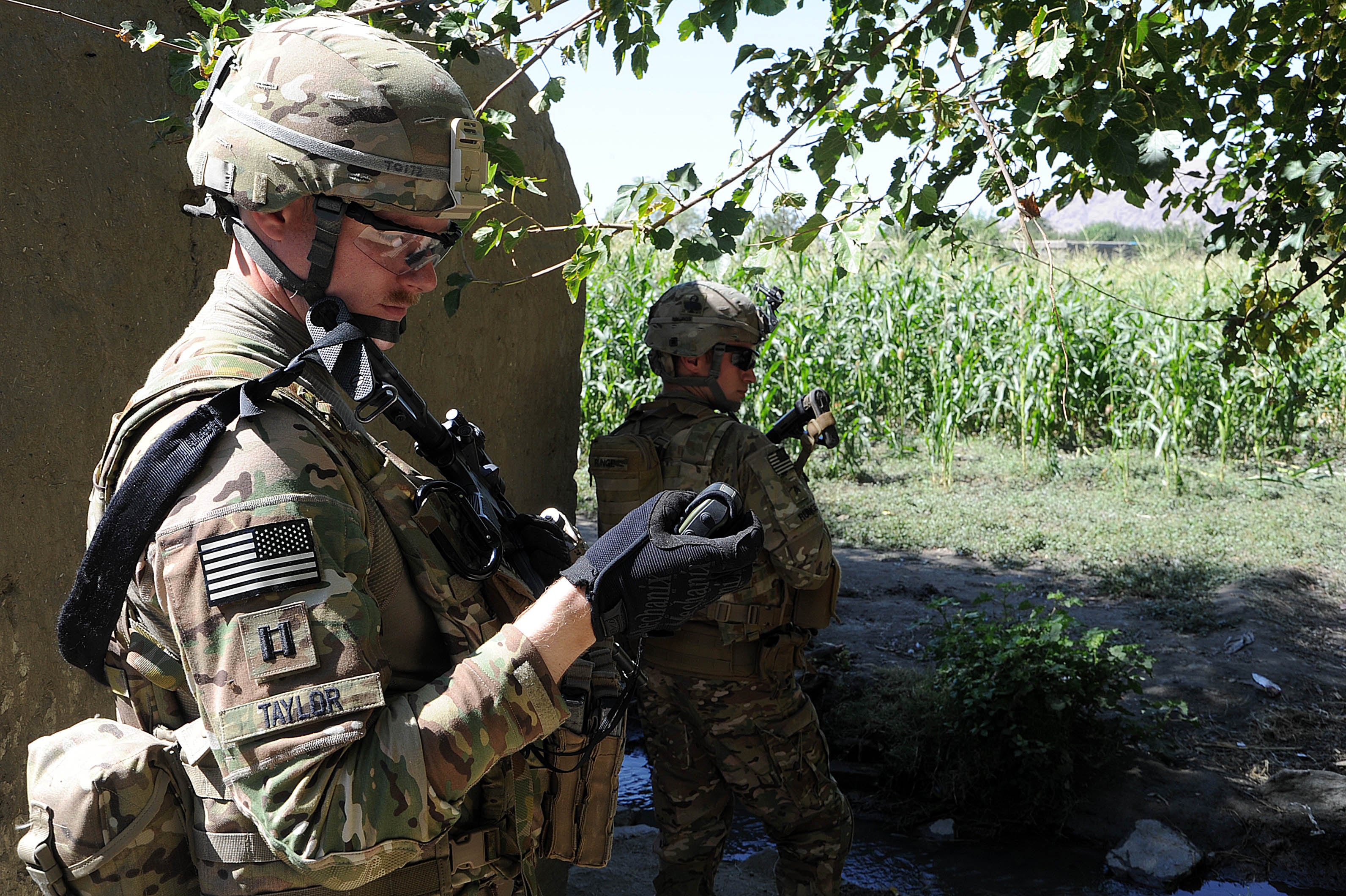
In the quest to provide positioning, navigation and timing to troops deprived of GPS, Army planners are developing an open-architecture system of plug-and-play sensors that could deliver such a capability.
GPS has become an integral part of how the Army operates. But it is increasingly the target of adversaries seeking to deny navigational capabilities.
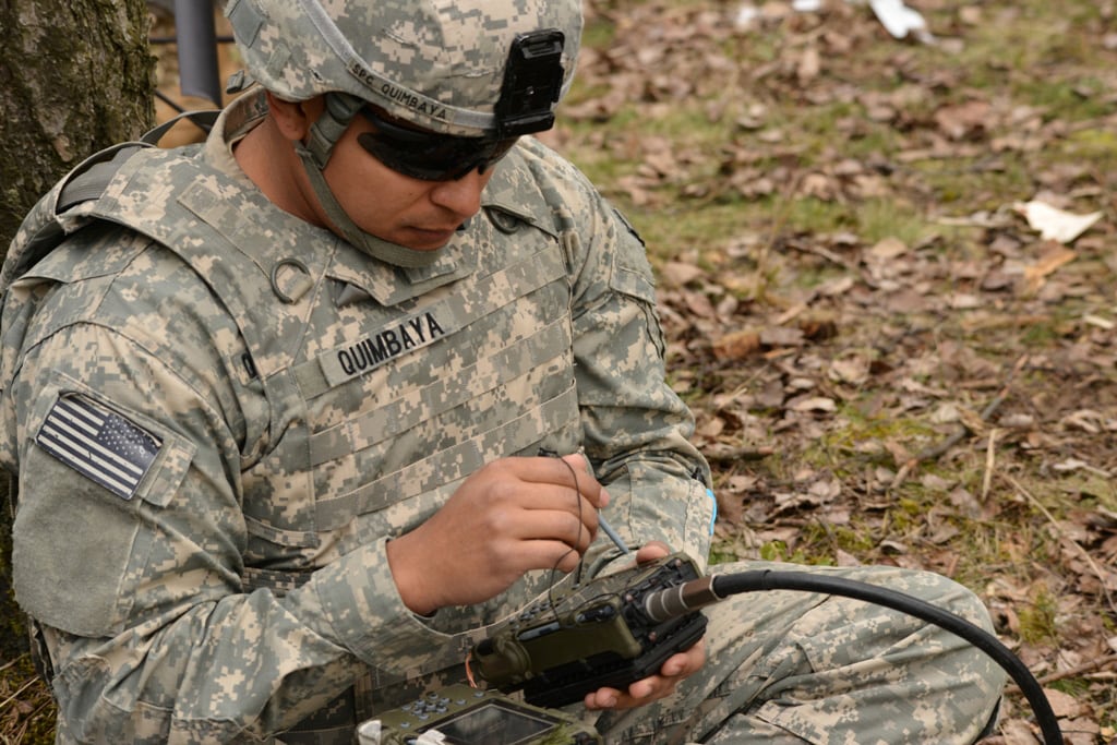
The potential PNT solution would use modular hardware and software on a tactical computer.
“It will be a sensor fusion filter that will allow us to hook up any sensor to the filter, and the filter will understand what the sensor is, what the data is and how to integrate that into a single PNT solution,” said Adam Schofield, the chief at the Emerging Technologies Branch of the Communications-Electronics Research, Development and Engineering Center, or CERDEC.
In initial tests, the Army is looking for an open framework within which it could combine GPS and inertial measurement units, or IMU, which are made up of sensors such as gyroscopes and accelerometers. In the future, the system would incorporate cameras for visual-aided navigation, as well as other sensors to help determine location and direction.
RELATED
Known as Scorpion, the software driving the links between systems is being jointly developed by the Army and the Air Force Institute of Technology, and it is part of the Office of the Secretary of Defense Initiative for Open Systems Architecture for PNT.
An open-architecture interface would make it easier for soldiers in the field to switch rapidly between multiple PNT systems. “There may already be a sensor on the vehicle for other purposes ― they may have a camera for sighting things ― and now you can use that [for ONT] just by plugging it in,” said Eric Bickford, an engineer in CERDEC’s Command, Power and Integration Directorate’s Positioning, Navigation and Timing Division. “You don’t have to add a camera or any other individual systems. You can use what you already have on there.”
Likewise, an open-architecture solution would allow the service to more easily integrate future PNT systems and solutions. “It means you can bring new technology to the battlefield faster,” Bickford said.
Developers say they are making headway in the effort to develop a software solution that would enable that kind of simple integration. In one recent test, they routed a GPS unit through a small form-factor computer and simulated a GPS outage. Prototype software enabled the system to automatically configure another GPS unit and bring it online. “It doesn’t even require a very powerful computer. A laptop will function perfectly well,” Schofield said.
The team also is working on developing a “smart cable,” an interface that would help to facilitate these connections. It too would be based on an open-architecture design.
Additional tests have shown that the system would be capable of handing off PNT functionality to an IMU unit in case of GPS failure.
All the trials so far have been conducted on commercial platforms. Planners say the next phase of development calls for testing of the plug-and-play capability on military vehicles, which may have unique compute platform and other idiosyncrasies. “The idea will be to show what a full-featured navigation system could look like on an actual Army platform,” Schofield said.
If the Army succeeds in developing an open, plug-and-play environment for PNT assets, it could have significant battlefield impact.
“This is a paradigm shift,” Schofield said. “It means you can adapt to real time a situation, which is something that just can’t be done right now without a major integration effort.”
That ability to shift on the fly would give U.S. forces a significant tactical edge in a GPS-challenged environment, giving them enhanced flexibility to meet a range of scenarios. “On a per-vehicle, per-mission basis, you could tailor the navigation sensors that would be required for that mission,” he said. “That also will lead to uncertainty for the enemy: They won’t know [which] sensors will be on which vehicle at any given time.”
All this becomes crucial at a time when adversaries have set their sights on GPS as a potential weak link. “Our mission is to prepare the next generation of Army system to operate with GPS when it is available, but also when GPS is not available. We want to provide a PNT capability at all times, regardless of the GPS environment,” Schofield said.