An Argentine satellite company has launched a subscription-based service that will allow customers, including government agencies or non-governmental organizations, to purchase satellite images over a specified area of interest.
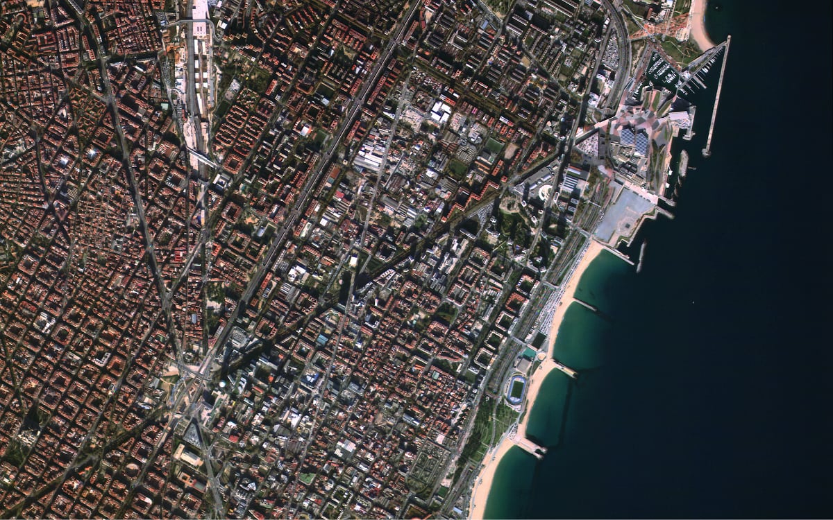
Satellogic satellites collect both high-resolution images, with 1-meter resolution, and hyperspectral images, which can show more detailed information about objects, such as their chemical composition. The company’s new venture, known as the Dedicated Earth Observation Satellite Program, offers access to customized images and data.
Whether monitoring at the cars-on-roads level or tracking the environmental effects of a forest fire, among other activities, subscribers will be able to determine what photos should be taken. Each entity subscribing to a Satellogic constellation would have access to 10 satellites over a designated area at a cost of about $2 million dollars per satellite per year, or $20 million in total per year, according to Kurt Billick, vice president of strategy and business development at Satellogic.
Potential customers might include corporations, NGOs and national or regional governments that do not have the capability to launch their own satellites, said the company’s founder, Emiliano Kargieman.
The company will enter an increasingly crowded satellite imagery space which is anchored by Digital Globe and Planet.
Satellogic will cover the launch and construction costs. Each constellation of 10 satellites would be able to remap 1 million square kilometers of land every six weeks, the company said.
Customers would also have access to the larger network of Satellogic satellites, if they need it. The satellites launched by Satellogic will last between three and five years, Kargieman said.
In addition to the subscription service, all images from Satellogic will be commercially available in accordance with international regulation.
“If you’re Germany, we will only sell you pictures over Germany,” Billick said.
At a roundtable in April at the GEOINT symposium in Tampa, Florida, NGA Director Robert Cardillo said that he did not believe the government, although a customer of commercial satellite imagery companies, should drive the market.
“We have no better mission partner than the National Reconnaissance Office,” Cardillo said, referring to the intelligence agency that focuses on space.
In addition to selling images over specific areas of interest, Satellogic will include training on how to use the images and data collected.
The artificial intelligence technology that Satellogic uses identifies objects in images, but also uses the images collected over time to track changes. When images are taken at different times of day, for example, shadows may appear in some images but not in others. One challenge AI technology faces is identifying which changes between images are relevant.
Satellogic plans on launching 60 satellites next year with an additional 300 launched by 2022. The satellites are usually launched from China and Russia.
In May, the market research company P&S Market Research predicted that the commercial satellite imaging market would reach a value of over $5 billion.
Maddy is a senior at George Washington University studying economics.