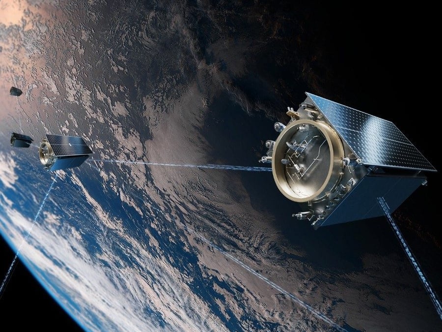
The insurance industry and the Department of Homeland Security have found common ground, with a shared interest in unmanned airborne sensors.
The Property Drone Consortium recently announced it had entered into a Cooperative Research and Development Agreement with the DHS Science and Technology Directorate.
Homeland security, and especially the first responder community, may share with insurers an interest in utilizing unmanned aerial systems (UAS) to catalog the aftereffects of a disaster. "I don't equate insurance with emergency response, but they both are entering a catastrophic zone, they are both required to assist the same individual," said Property Drone Consortium (PDC) President Charles Mondello.
"One may complement the other. If I can help insurance companies understand sensor technologies, maybe those same sensor technologies can assist law enforcement and first responders," he said.
The PDC represents a collaboration of insurance carriers, construction industry firms and related enterprises, working together to promote research, development and the assessment of regulations surrounding the use of UAS.
In addition to its research agreement with DHS, PDC also has reached out to the academic community. It recently formed a research initiative with imaging scientists at the Rochester Institute of Technology, providing those researchers with raw data collected from various UAS platforms.
"We have never before had access to the data that these platforms and miniaturized sensors will allow us to collect," Professor Carl Salvaggio said in announcing the partnership. "This data will enable us to see many roof maladies and allow our students to develop methods for automatically identifying these features from the imagery, enhancing the insurance and roofing industries ability to do an even better job of protecting their workers and the public they serve."
In the public safety arena, PDC has teamed to provide UAS data to emergency management officials in Marion County, Kansas. That data will be used to augment planning and response for natural disasters, said Randy Frank, the director at Marion County Emergency Management.
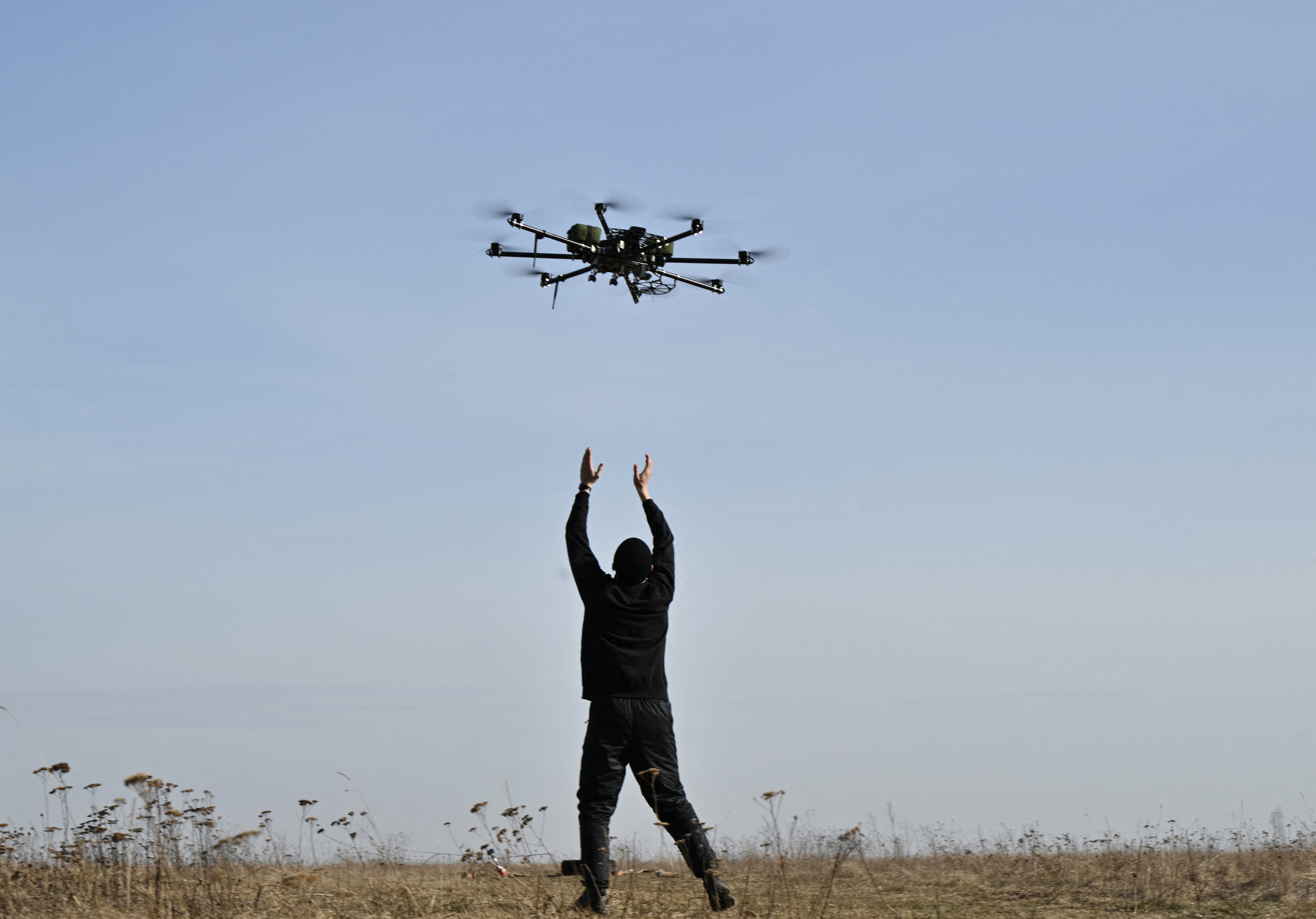
The collaboration with DHS is meant to enhance both the sensor technology presently in use on unmanned vehicles as well as the operating protocols and government regulations on the use of such devices in the wake of an event.
While conventional cameras mounted to a UAS are helpful, extending the sensor array could yield valuable, new information to drive more timely response. "Say I extend that vision into the near infrared; I might see attributes of a structure that I normally wouldn’t see," he said. "Or maybe with different sensors we could extend a search later into the evening."
"The goal for us and for urban search and rescue is to understand structures, to understand damage," Mondello said. "We are looking at sensors systems to see what is possible, to see how much more we can do. I can fly a standard camera and get some very good information. But suppose I had sensors that would help me to understand what a structure looks like after wind or hail damage. What does it look like when the shingles blow off? Are there sensors that would allow me to assess that damage more quickly?"
Emergency personnel and law enforcement share an interest with the insurance industry here: Everyone wants to secure an area and begin remediation as soon as possible. Mondello said the cooperation here could extend beyond research to perhaps embrace an operational component.
"In every county, in every township, there are individuals who work for the insurance carriers. There is this huge infrastructure there that potentially could assist in data capture, in data analysis, that could be used to put another set of eyes on the situation," he said. "If we have a working, trusting relationship between law enforcement, first responders and the carriers, maybe we can find a way to support one another."
Private industry could play a role as well, if the collaboration leads to a more effective sensor configuration.
"Ideally that would be commercially available, but if not there will hopefully be some enterprising, new company willing to work on this. That is the next step," Mondello said.