Swiss researchers have taken a step toward unmanned autonomy by designing an unmanned aerial vehicle UAV that generates its own navigational maps.
Scientists at the Swiss Federal Institute of Technology have demonstrated a small UAV "that can build its own 3-D map of an unfamiliar environment with minimal help from a human operator, and then plan its own routes around a space and its obstacles autonomously," according to MIT Technology Review.
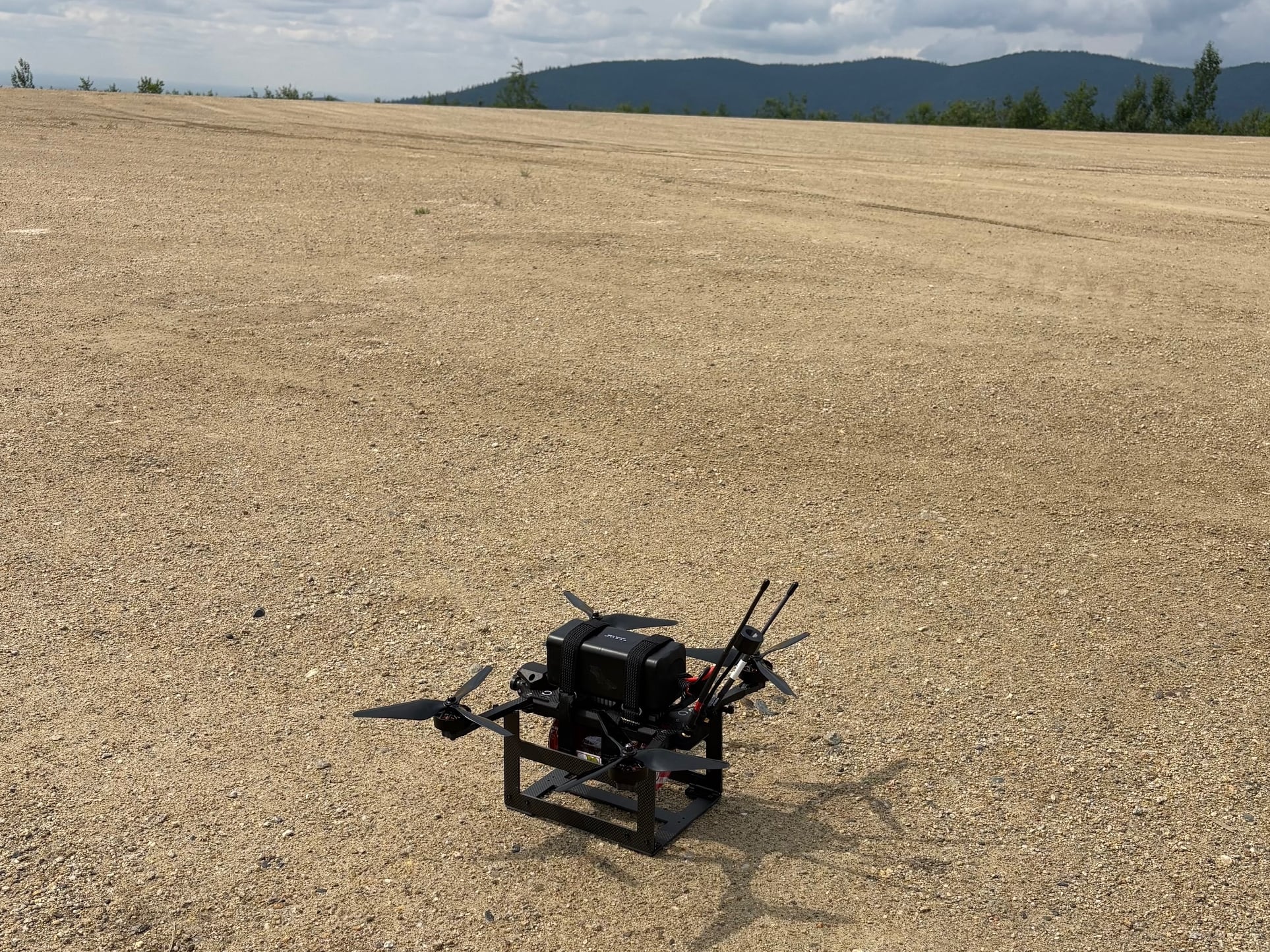
The demonstration involves a small quadcopter equipped with a stereo camera and sensors that report velocity, orientation and gravitational forces.
"This is the first time we can show full mapping, relocalization — finding the drone on the map — and planning on board," said researcher Michael Burri.

