After nearly 16 years of successful operation, the Coast Guard is winding down the majority of an enhanced navigation system that has aided all forms of maritime traffic including commercial as well as the Coast Guard’s own border protection and migrant interdiction efforts.
First deployed in 1999, the Differential Global Positioning Systems (DGPS) correct for slight discrepancies between signals from GPS satellites, which are operated by the U.S. Air Force, and actual ground locations. Subsequent enhancements in GPS capabilities have since rendered the corrections unnecessary, the Coast Guard said, as DGPS has narrowed accuracy from 40 meters to the present 7.8 meters as estimated by the official GPS.gov website.
Today tThe Coast Guard has responsibility for 84 ground sites including 48 of its own receivers, 29 Department of Transportation sites and seven Army Corps of Engineering sites. When the service completes an ongoing scale-back, the system will include 27 Coast Guard sites and one Army Corps receiver. Its goals is to reduce the number to 22, with 21 under Coast Guard management and one operated by the Army Corps.
The Coast Guard posted a notice in the federal register in 2013 seeking public comment on the potential site closures. By November 2015, the only comments had come from boat captains of boat pilots who said they use the system to guide ships into busy ports or through difficult channels. Thus tThe remaining receivers, therefore, will be largely positioned along the coast in areas of high maritime traffic.
As for those sites being closed down, the service is still considering what to do with those receiver locations.
"Some of it is government property, some of it is leased, some of it is owned by different individuals, so it really depends," said Lt. Torrey Jacobsen, Program Manager for DGPS in the Coast Guard Office of Navigation Systems. "We also want to determine in is there a secondary use for the constellation or whether it can be transferred to someone else. We want to know what the best way it to get rid of this stuff, or should we be keeping it for something else."
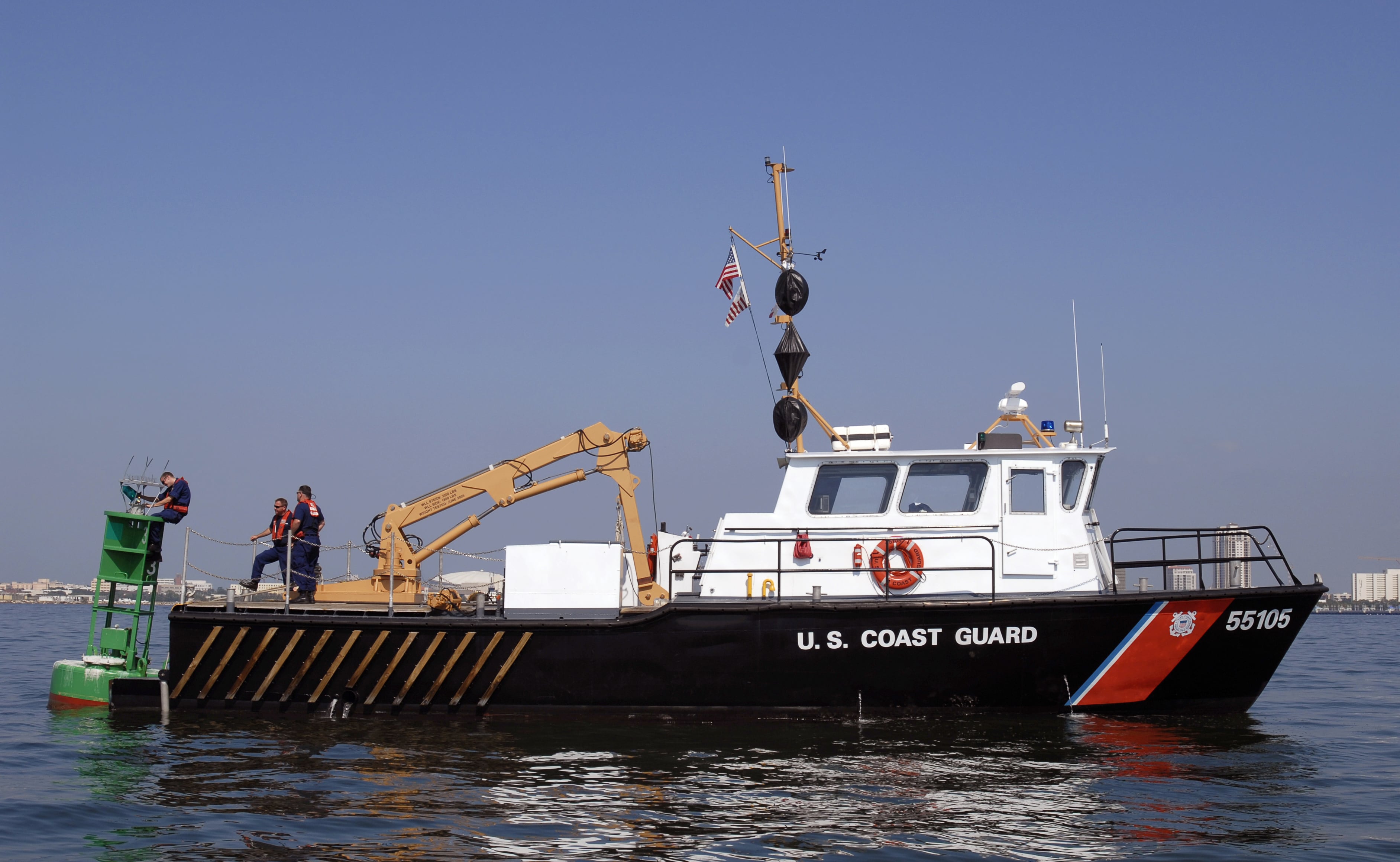
When initially deployed, DGPS covered a substantial gap in navigational satellite capabilities, generating more precise location data than was available to maritime users. The Coast Guard also adopted the system to support its own uses. "At the time the Coast Guard needed to accurately position our aids to navigation, our buoys, and to do that we needed a more accurate signal," Jacobsen said.
"The government was introducing selective availability of the GPS signal, meaning there was intentional error put into the GPS signal for security reasons," he said. As technology has improved and the government has loosened the reins, DGPS has become less relevant.
RELATED: Satcom for tactical forces C2