The most effective approach to building a secure nation and safe community involves using methods and technology that foster collaboration — routinely and during a crisis. Agencies that still use disconnected systems and data siloes put the lives and property of the citizens they serve in peril. During a crisis, international, state, and local governments, as well as private industries, use the Esri geospatial platform to collaborate in the following ways:
1. Growing situational awareness.
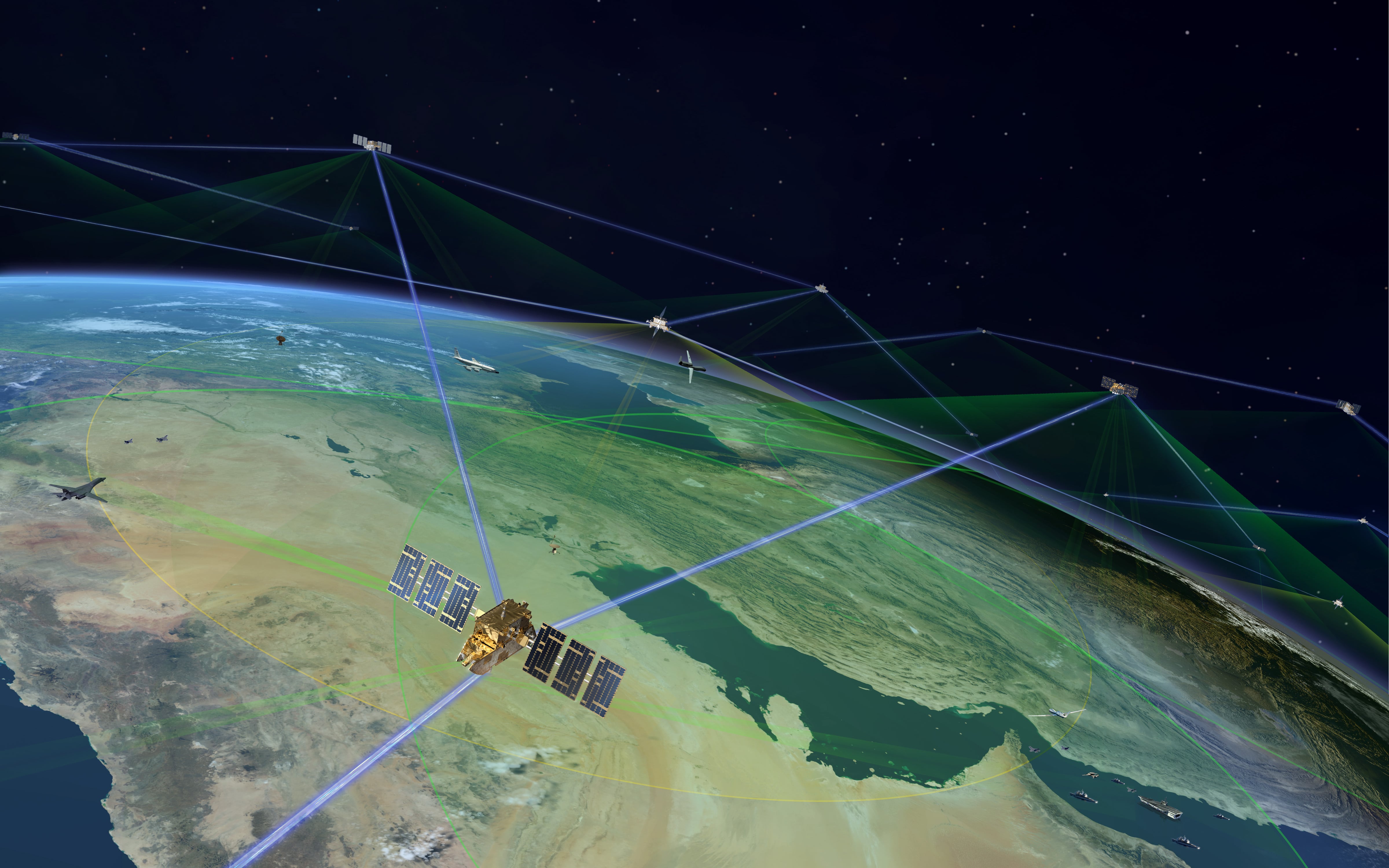
A common operating picture (COP) enables collaboration and communication across multiple organizations. By bringing all relevant enterprise data into a centrally shared access point, a command center builds a rich, live map that shows unfolding events. Data as a service further enhances the map, as does public data and data from mission partners such as law enforcement agencies. Platform connectors add real-time data streams from vehicle location systems, flood-level sensors and social media to a live map to show dynamic information. The comprehensive map provides the exact information different responders need.
2. Sharing intelligence.
A communication platform with web capabilities helps local agencies share information and ideas that advance community resilience. The City of Los Angeles GeoHub curates and publishes live geographic data and maps accessible by city departments and law enforcement. Servers facilitate jurisdictional teamwork. They allow agencies to share web maps, map services and data from any source and device to support a diverse range of use cases. With little or no training, decision-makers can use geography and map visualization technology to rapidly uncover answers to complex problems.
3. Directing operations.
By accessing shared data, command center staff create crime monitoring maps, terrorism risk assessments or emergency response plans. A COP then helps crisis managers systematically direct and coordinate multiagency activities and escalate the event from a routine to an emergency operation. A geospatial platform also connects everyone working inside and outside the office and in the field to the same current information. Emergency managers know where and when to deploy staff and resources. First responders use mobile apps to access their orders, see them in a geographic context, and report on the status of their task, which instantly appears on the COP.
4. Supporting distributed decision-making.
Platform users employ cloud-based infrastructure to exploit scalable systems that expand and contract throughout a crisis. The cloud infrastructure facilitates immediate access to data, allowing users to author maps and serve them through online services so that other agencies can consume, analyze, and collaborate in unison. The service enables users to share authoritative data with different agencies, which can repurpose it for their specific needs. It allows the agencies to collaborate with online work groups to create emergency management plans. To safely share secure data, agencies set up on-site geospatial platforms behind their firewalls. From anywhere in the agency, at any time and on any device, staff can easily search and access the geospatial information they need for their specified tasks.
5. Working with the community.
Communicating accurate information goes a long way in building the trust and respect of citizens. Web apps interact with security platforms to keep the community informed about what is happening where and when. Stakeholders can better understand program successes if they have accurate, timely information via visually appealing maps, focused apps and revealing analyses. Members of the public, too, become more engaged with keeping their communities safe by using geographic web apps that alert and inform emergency responders about dangerous situations or suspicious activities.
A geospatial platform at the center of crisis operations sets the stage for effective collaboration, Esri geospatial technology empowerings staff to work together across multiple departments as well as partner with other government agencies. Online geospatial services connect multiagency responders and provide real-time operational awareness to keep everyone up to date.
John Day is the director of National Security Business Development for Esri.


