DENVER – The National Geospatial-Intelligence Agency, which collects, analyzes and distributes satellite imagery in support of U.S. national security, is monitoring events in Ukraine and sharing intelligence with partner nations engaged in joint missions, its director said.
“We’ve been able to be a key part of the how the West has helped Ukraine prevent Russia from overrunning Kiev, and installing a puppet government subservient to Russian control,” said Vice Adm. Robert Sharp said at the GEOINT Conference in Denver April 25. “Today, on the 61st day of the war, Ukraine is bravely and impressively fighting on. Partnerships are critical to the ongoing success.”
The agency is engaged in supporting partners with geospatial intelligence, or GEOINT, throughout the conflict. The NGA is also sharing commercial imagery and encouraging U.S. companies to assist NATO.
“As far as what U.S. imagery companies are providing to assist NATO and the West in this situation, is NGA OK with all that, even encouraging it? Absolutely. Heck yeah! No restrictions,” said Sharp in prepared remarks. “Publicly available imagery of Ukraine is now providing unprecedented public insight that until recently would’ve been only available through government agencies and officials. And it’s helping a democratic country fight for its survival, and preserve its independence. We support and applaud those efforts 100 percent.”
Sharp said that many of the ways the NGA is providing support is classified, but he shared one example of how the agency is taking action.
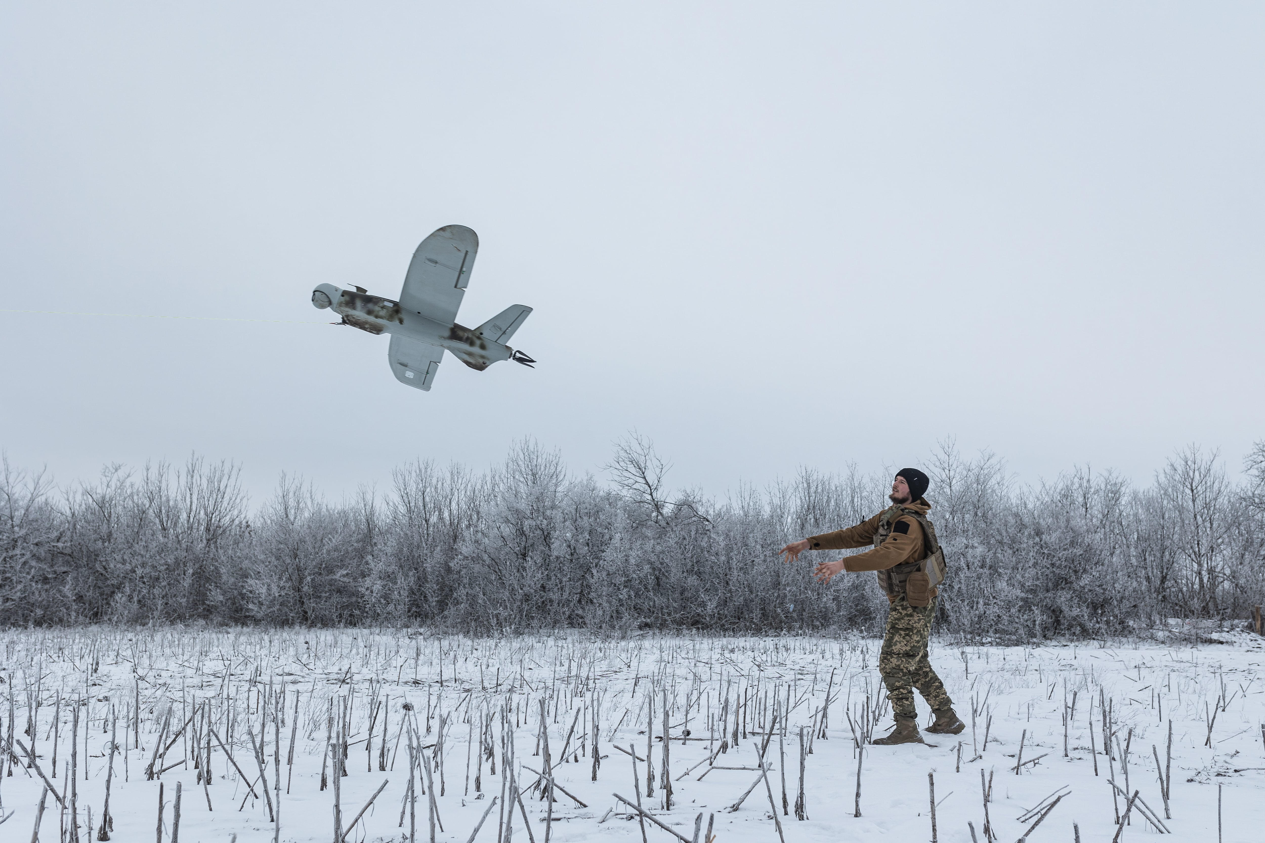
In March, the agency sent personnel to the U.S. European Command Area of Operations to train some military partners on the Aerial Reconnaissance Tactical Edge Mapping Imagery System, or ARTEMIS. ARTEMIS is a small unmanned system used to provide overhead imagery when conditions are not ideal for satellite collection, explained Sharp.
“Due to this initiative, we now have military forces in Europe who can use ARTEMIS for high-resolution imagery, creating their own GEOINT at the tactical edge that can be easily shared at the unclassified level with international partners, and with no restrictions,” he said.
Nathan Strout covers space, unmanned and intelligence systems for C4ISRNET.