WASHINGTON ― The National Geospatial-Intelligence Agency has announced the winners of a $2.1 million competition to find new and better ways to measure the Earth’s magnetic field.
Traditionally, gathering data about the Earth’s magnetic poles has been a challenge, partly because they do not align with the geographic poles placed on maps and partly because they are constantly moving. Knowing where the magnetic poles are in relation to those geographic poles is essential for accurate navigation, which is why NGA and the United Kingdom’s Defense Geographic Centre maintain the World Magnetic Map (WMM)―a periodically updated reference that allows users all over the world to access the most up to date information about the poles. The model is embedded in thousands of military systems, including submarines, satellites and aircraft, enabling them to accurately navigate all over the world using the Earth’s own magnetic field.
As the intelligence agency charged with mapping the world, NGA launched MagQuest in March 2019 to find new ways to collect data for the WMM.
“The importance of the World Magnetic Model cannot be overstated: It is critical to keeping everyday navigational systems running,” said NGA Senior GEOINT Authority J.N. Markiel in a statement. “MagQuest has advanced scientific and technical innovations that could be key to the future of geomagnetic data collection, specifically approaches that are both sustainable and scalable.”
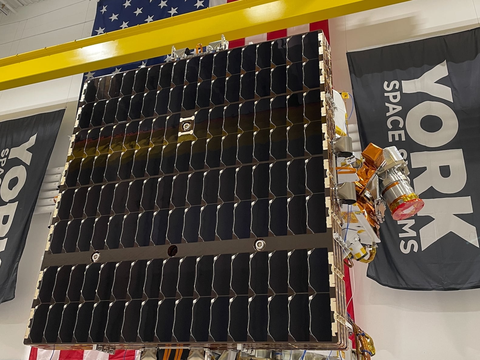
The first prize winner is Iota Technology’s Satellite Instrumentation for Geomagnetic Analysis (SIGMA). Working with teams from Oxford Space Systems and AAC Clyde Space, Iota Technology’s solution uses a 3U CubeSat with a deployable boom and digital magnetometers to collect data.
In addition to the $350,000 awarded to first place winner, NGA awarded $255,000 prizes to two second place winners and $50,000 to two runners up. The cash prize competition drew interest from both academia and industry, with participants putting together space, aerial, oceanic, and land-based approaches to the problem.
NGA said in a statement that the MagQuest results will inform how the agency collects geomagnetic data for WMM in the future, with an expected procurement that can provide operational capability in 2027.
“We are thrilled by how open innovation has allowed us to bring pioneering ideas to life and spur novel technological advancements,” said Markiel in a statement. “The competition has not only driven new approaches to geomagnetic data collection, but also shows how open innovation can be used to support the future of critical scientific infrastructure.”
CORRECTION: This story has been updated to show that NGA plans to achieve initial capability in 2027.
Nathan Strout covers space, unmanned and intelligence systems for C4ISRNET.


