The U.S. Air Force has awarded Descartes Labs a contract that will allow them to use the company’s geospatial analytics platform for multisensor data fusion and situational awareness.
The Small Business Innovation Research Phase II contract was awarded through AFWERX — an Air Force effort to spark innovation through non-traditional vendors — and the Air Force Research Lab’s Space Vehicles Directorate and Information Directorate. Descartes Labs did not reveal the value of the contract.
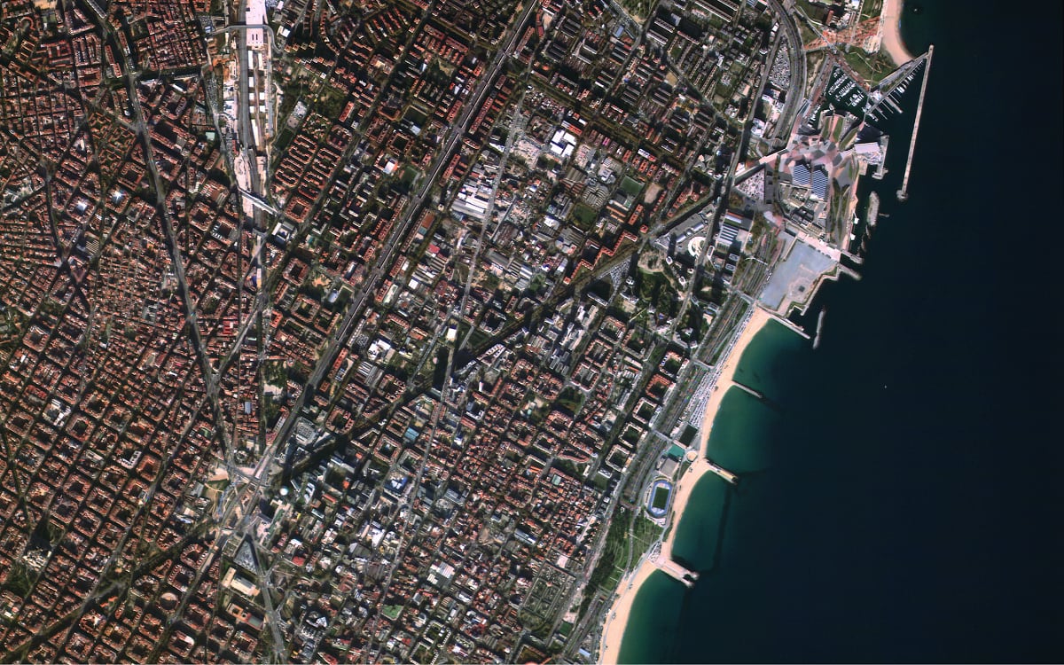
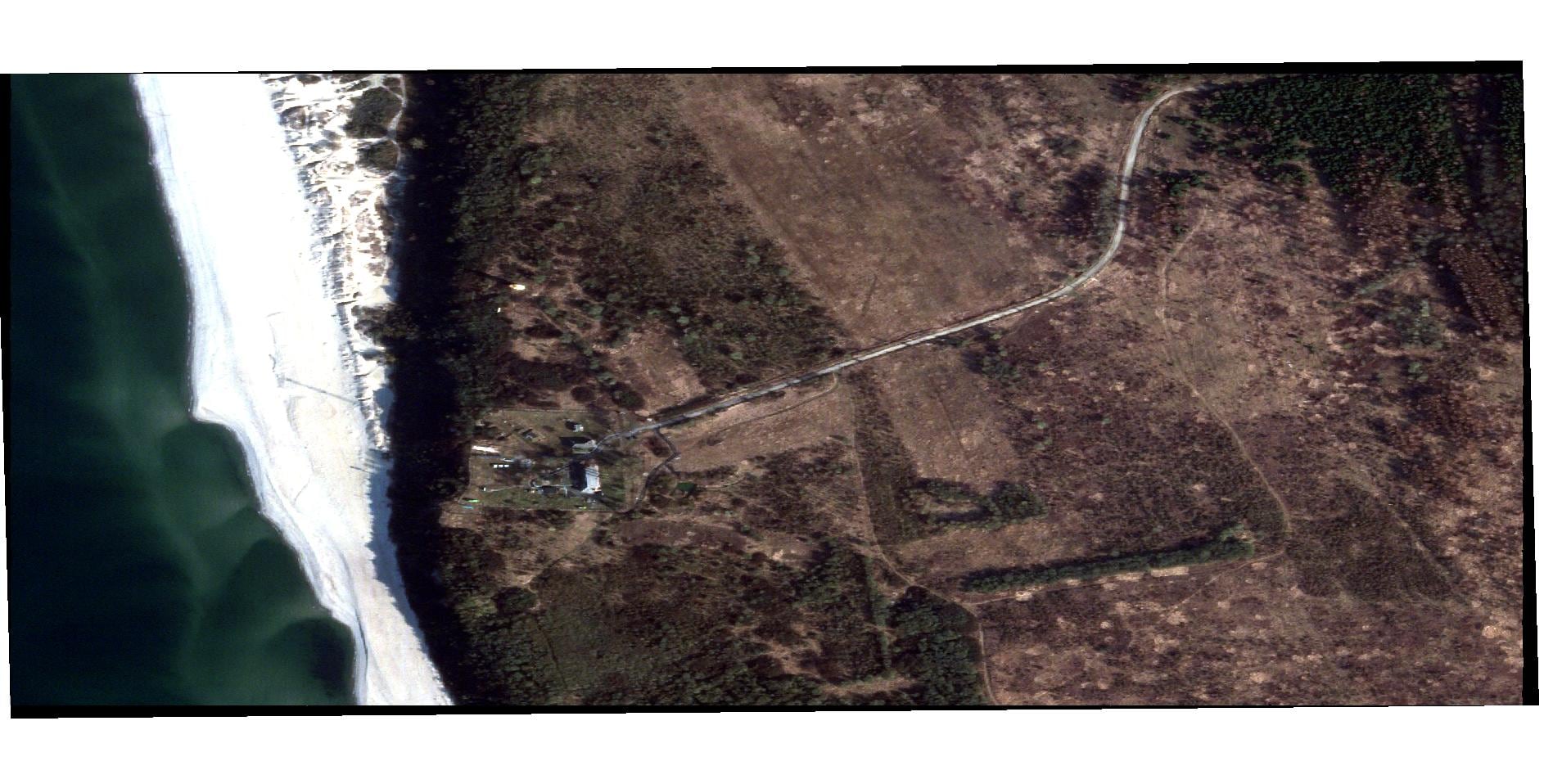
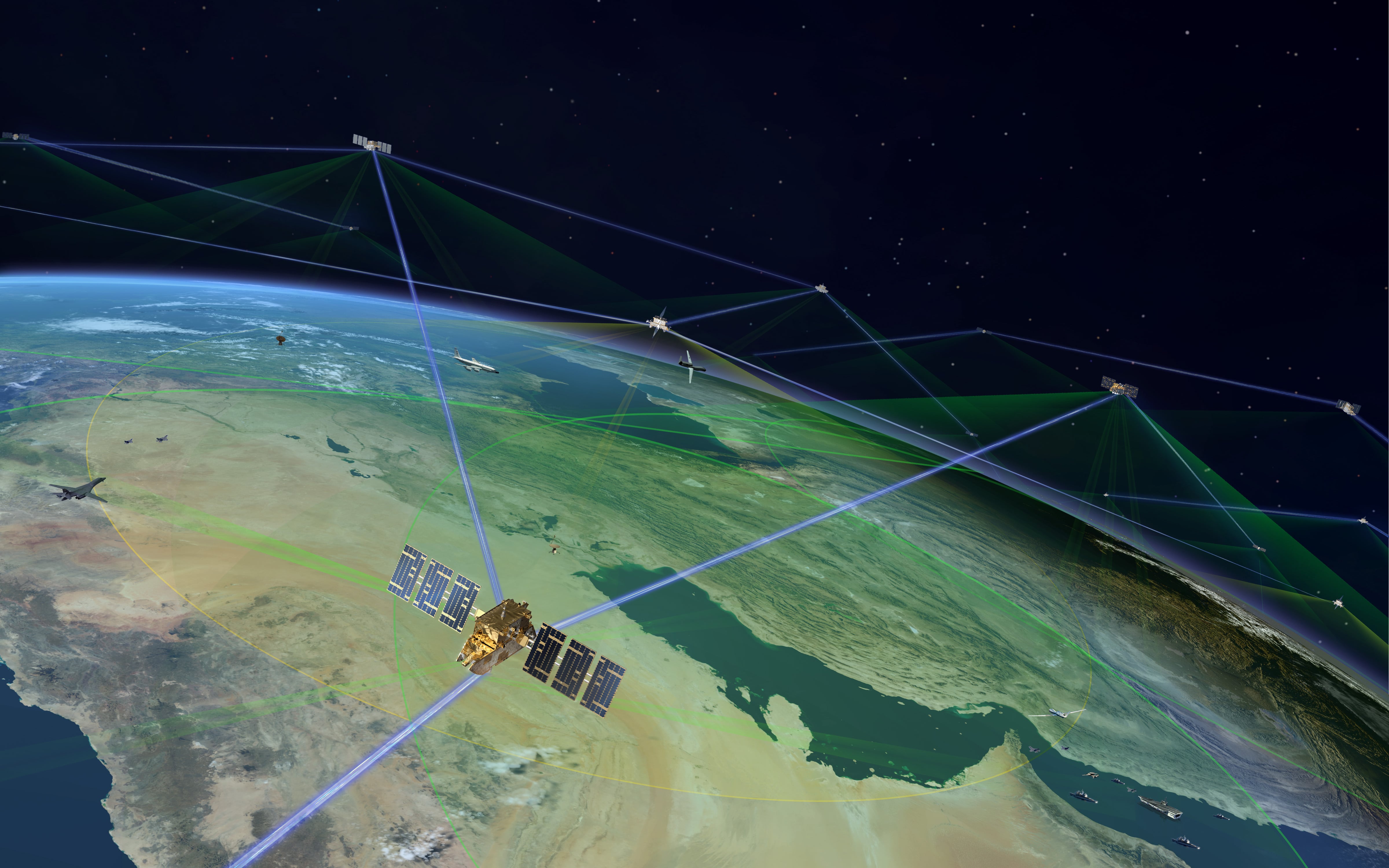
Under the contract, the Air Force will be able to use the company’s platform to fuse multidomain, multisensor data and produce near-real-time analytics. Data sources will include satellites, shipping pings, aerial imagery and more.
“The data integration, fusion, and discovery technologies being developed by Descartes Labs are critical to providing the U.S. Air Force and U.S. Space Force with transformative capabilities for [intelligence, surveillance and reconnaissance] sensing, sense-making, and information integration for next-generation battle management and command and control,” AFRL explained in a statement.
The Phase II contract continues efforts Descartes Labs made in a previous Phase I contract, where their platform ingested and explored Wide Area Motion Imagery.
“Our AFWERX Phase I effort afforded us a unique view of USAF’s geospatial-enabled cloud compute requirements,” said Descartes Labs President Phil Fraher in a statement. “The customer requirements discovery process revealed the need for automated data discovery to relieve cognitive overload, optimize manual exploitation workflows, and enhance data dissemination to multiple geographical disparate nodes.”
Nathan Strout covers space, unmanned and intelligence systems for C4ISRNET.
