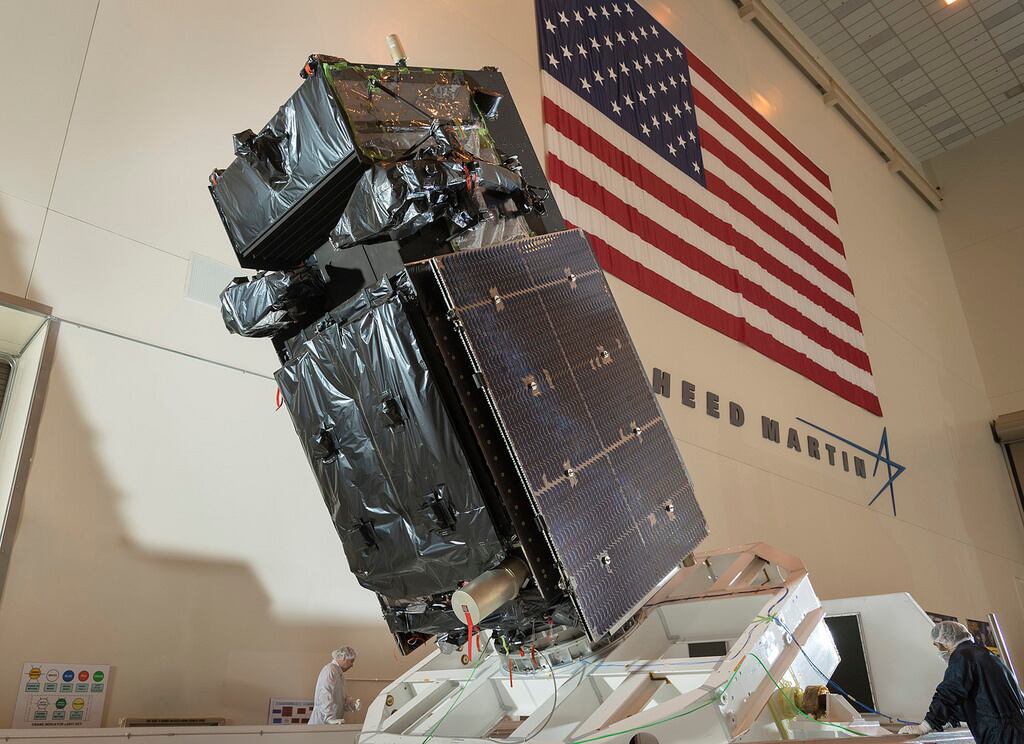
The U.S. Air Force’s latest missile warning satellite transmitted its first images back to earth, according to Lockheed Martin, the satellite’s manufacturer.
The so-called “first light” took place in February when the satellite, known as the Space Based Infrared System GEO-4, activated its infrared sensors and began collecting missile detection and defense data, according to a May 2 statement from Lockheed Martin.
SBIRS GEO Flight-4 will collect data for use by the U.S. military “to detect missile launches, support missile defense, expand technical intelligence gathering and bolster situational awareness on the battlefield.”
“First light was a tremendous milestone for SBIRS GEO Flight-4 and we are very pleased with the high quality and definition of the images we received back,” said Tom McCormick, vice president of Lockheed Martin’s Overhead Persistent Infrared (OPIR) systems mission area. “With the launch of this satellite, SBIRS can now provide global coverage, with better-than-specified sensor pointing accuracy and the ability to detect even more targets than anticipated.”
The GEO Flight-4 was launched on Jan. 19 and began responding to commands from the Air Force’s 460th Space Wing 37 minutes after liftoff.
SBIRS GEO Flight-4 joins three other satellites in the constellation, which were launched in 2011, 2013, and 2017 respectively. In 2014, the Air Force awarded Lockheed Martin a $1.86 billion contract for the SBIRS GEO-5 and 6. According to Lockheed Martin, those spacecrafts will be ready for launch in early 2020.