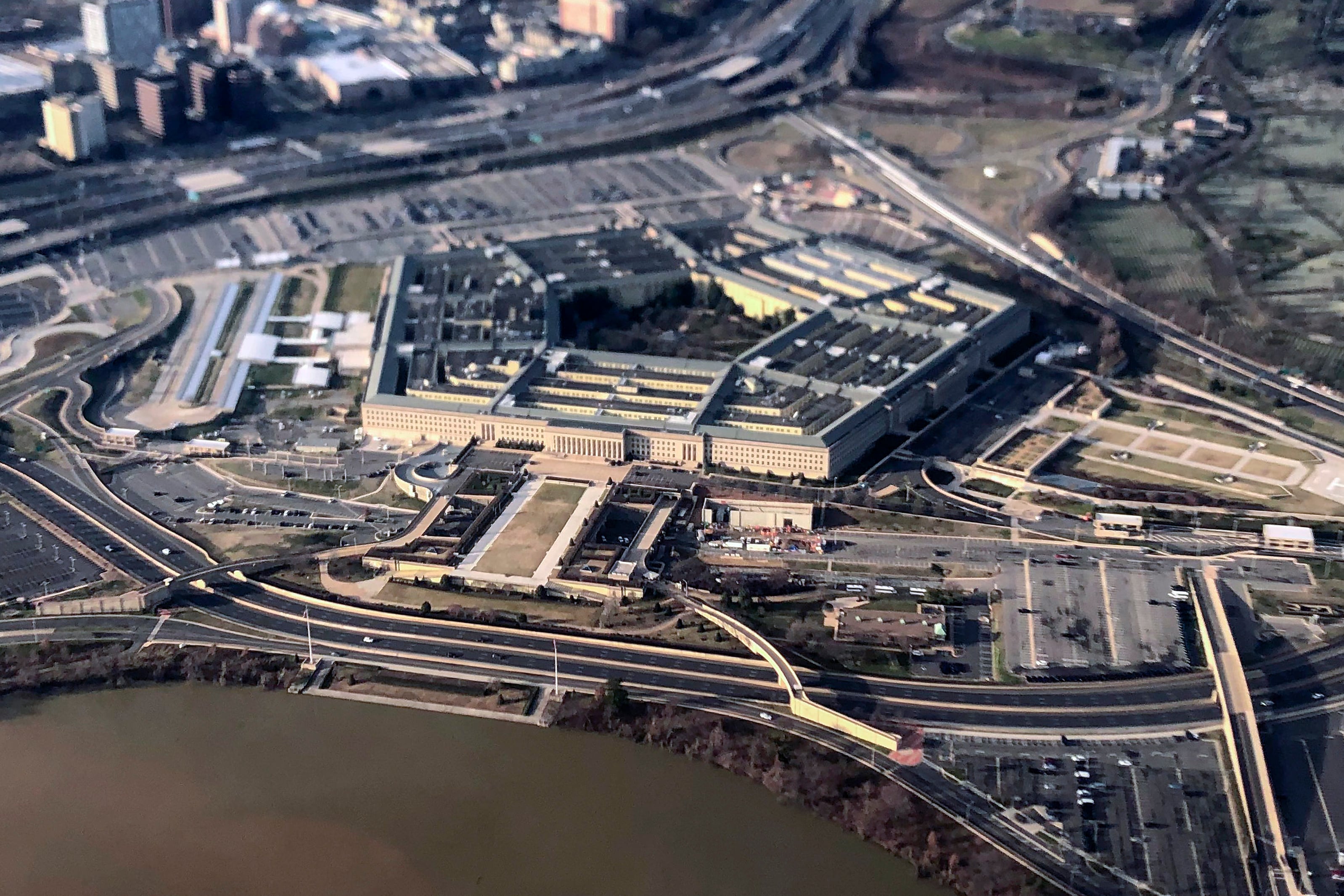
This is one of the many topics Maj. Gen. UV, as she is known, discussed with C4ISRNET Reporter Mark Pomerleau recently at NGA's Springfield, Virginia, headquarters.
What is different today than in the past?
Because of the explosion of [geospatial intelligence], we understand how much automation we need.
I cannot get 100,000 people to look at every single picture we collect … and especially where we'll move with commercial imagery, we just can't do it.
So how do we get those pixels that will fall on the floor that could be that golden BB?
The way we do that is through automation. [NGA Director] Robert [Cardillo] has been saying that he really wants to move toward 75 percent automation and 25 percent analytical. That will allow our analysts to really tackle the hard problem sets, like: What's North Korea going to do next? What's Russia's next move in Syria?
Right now we do a great job getting our arms around it. I think we'd like to take a step back and do some more thinking about the what ifs, but we are so busy chasing every single pixel.
Can you provide an example of what you mean by putting that analytical brain power on a hard problem set to allow the machine to do the basic tasking? What would the
analyst be doing as opposed to poring over that data?
Let's do a TEL [transporter erector launcher] from North Korea. So a TEL is in the middle of nowhere — oh, my God, where did it come from?
You could probably do that from automation, but you could really do it from the mindset of: "OK, where have I seen this before? Boy, those tracks look familiar," and [you could] equate it to some trail that you'd seen before.
But more importantly, where does it go? What is it going to do next? Is it ready to launch, is there enough room for it to launch? Are they clearing out a 10-by-10 [space] in front of it so that it can move somewhere? And the analytical piece to say: "Well, all the pieces are there, they're clearing this out, there looks like there's enough room to raise the arm — he can shoot the missile from there."
For us, what I really want to do is 75 percent automation, and if I can do 25 percent of that anticipatory intelligence, that will get us to what we call "left of launch." Because I want to give [Defense] Secretary [James] Mattis [and] Gen. [Vincent] Brooks [commander of U.S. Forces Korea] as much warning as I can.
Right now, yeah, we're doing a good job, but wouldn't we rather have … more hours?
And our analytical shops are the ones to do that.
Let's face it: [North Korea leader] Kim Jong Un is racing to get where his father and his grandfather couldn't, but he is doing it and he is winning — if you want to say winning — by randomness. His randomness keeps us on our toes. Is he here? Is he there? Hey, where in the heck did that launch come from?
We really should take our analytical sets … and think out of the box. OK, you expect him to do this, but yes, that's not how he's been working it. How do I think random, outside of the box and think anticipatory intelligence to say: "Hey, I saw it here, I think he'll launch from there."
But oh, he's never launched it from there before. Well, yeah, but the way it's set up, the way that the arm is, the way it looks like it has enough clearing for him to put the missile up.
It's from that perspective for how you do 75 to 25 percent.
With today's intelligence being a multi-INT approach, what is NGA's role in that, both in helping national level strategic decision-makers and getting data to the war fighter at the tactical edge?
Both our national leaders here … and our customers out there have been used to us providing data. Before it was classified data.
What NGA is really trying to do with the analysts … is we're really stressing how to put context to that data. And what I mean by that is it's not so much about the history, but where it could be so we can get to anticipatory intelligence.
What we try to tell folks now is we're not your grandfather's or your father's NGA. We're really figuring out where to go.
Automation is key, but we're really figuring out [that] to explain it to our customers you need to start asking me the hard questions.
Don't just ask for where a tank is or give me a picture of a tank. For the analyst, how do I put context around that tank? How do I give it context … how do I put those data pieces in there so what I am doing for my customers is providing more of a story? Historical, as is, and where it could be. What we like to say putting context to data. I'd say that's really where we're going now.
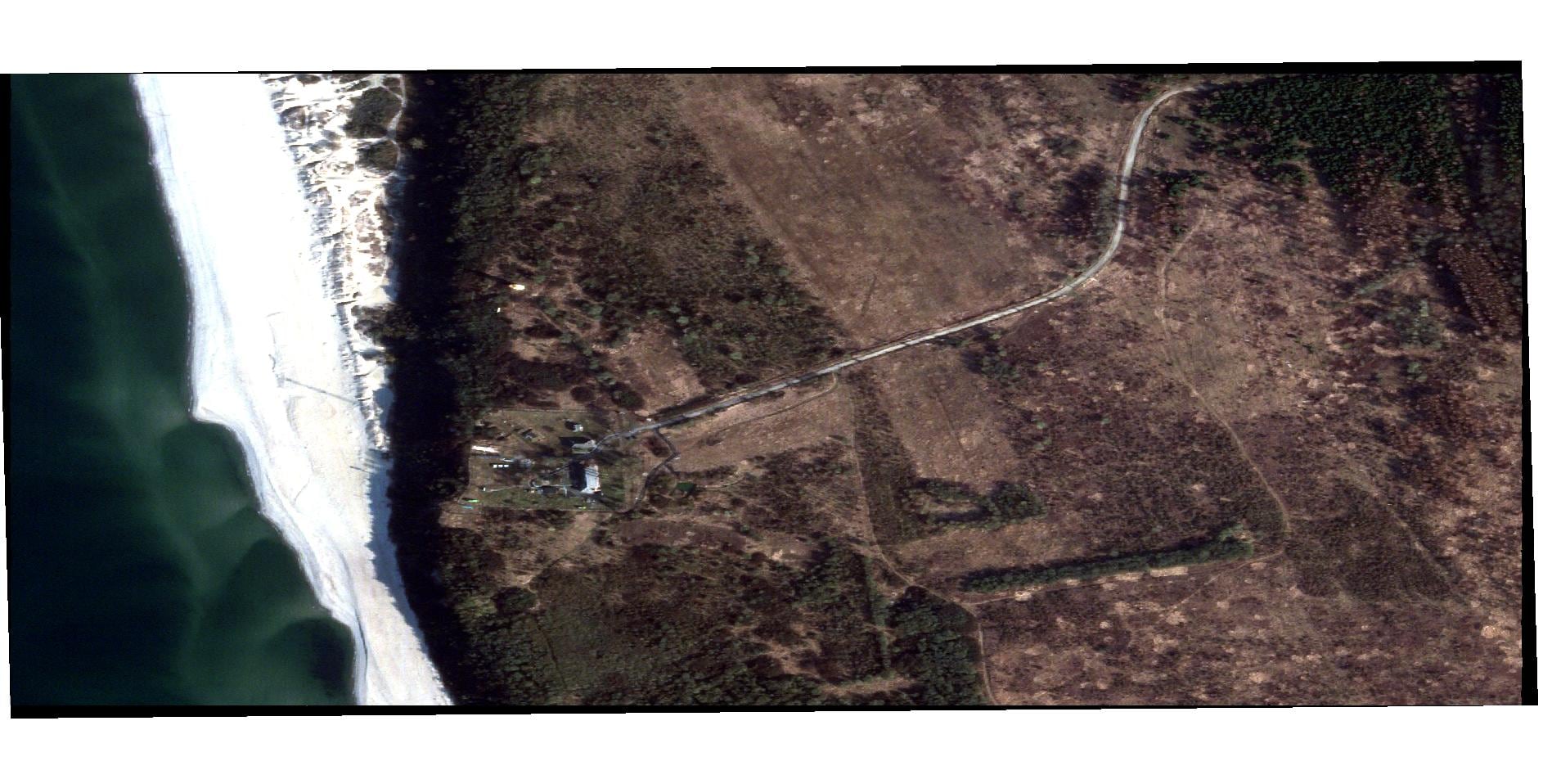
Let's talk about GEOINT today. GEOINT is classified satellites, given. GEOINT is commercial satellite, which our adversaries have the same shot. Commercial GEOINT is open source. It's the photos they post on Facebook, it's the photos when the Russian soldiers put them on, the "Look, mom, I'm in Ukraine."
We used to think of it as GEOINT is going to bring me a map … that's not what GEOINT does today. It brings you a picture with context that includes open source.
I've been in over 30 years and if you told me when I came in in 1984 that I would even incorporate open source into my thinking, or as much foreign information that we get now for many of the stories we build, I would've told you that's just not how we do intelligence. We can't do it without it now. It really makes the story.
Because you're in the same cycle as CNN, as Fox News and most of the time, I'll be honest with you, they get it before we do.
So we can either pooh-pooh it or rival with them, which never works, or join and figure out how to work in the open, and that's where Director Cardillo is really pushing us.
What's your role with the Intelligence Community Information Technology Enterprise, or IC ITE?
NGA's a leading player in IC ITE.
It was a saving-money factor when it started, but there is real goodness in IC ITE. One of them is where we're going to go with our GEOINT services.
No customer is the same — so GEOINT services is an ability to bring GEOINT applications to pick the service that is best for you. What you use might not be what I use.
That's what our customers want. You've got to give me choices. [IC ITE] is still alive and well.
What are some of the challenges and opportunities you see?
Commercial imagery. Huge.
So our perspective is: Let's play with them early; let's play with them often. Get some pressure off our classified satellites. It's easier to share if I have unclassified coming from commercial. How do I embrace that?
With commercial imagery, from a tradecraft perceptive, how do you set yourself apart from adversaries that have the same availability to these systems?
It's our analyst. It's our exquisite analyst who will see something that someone else viewing that same imagery wouldn't even see. He wouldn't even blink an eyeball; he'd let it pass by.
Mark Pomerleau is a reporter for C4ISRNET, covering information warfare and cyberspace.

