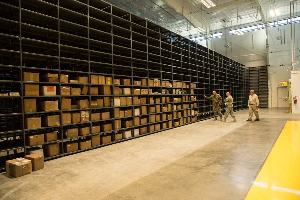
The new Forces Command Intelligence Readiness and Operations Center (FIROC), a 27,000-sq. ft. facility, is more modernized than its predecessor, which coordinated map and data transfers between the National Geospatial Intelligence Agency and Army units, according to a report from the Fayetteville Observer.
Emerging from FIROC will be a more comprehensive, real-time operational picture designed to prepare soldiers for unknown conditions on the ground, as well as coordinate combatant commanders worldwide. The center, which functions as both an operational and training facility, will forge further partnerships between NGA, Army Intelligence and Security Command and Army Special Operations Command.
“This is kind of like the phoenix that comes out of the ashes,” MG Jimmie Jaye Wells, FORSCOM chief of staff, told the Observer. “What you see here is the lifeblood of what readiness really is.”
The new center opened on Dec. 16.