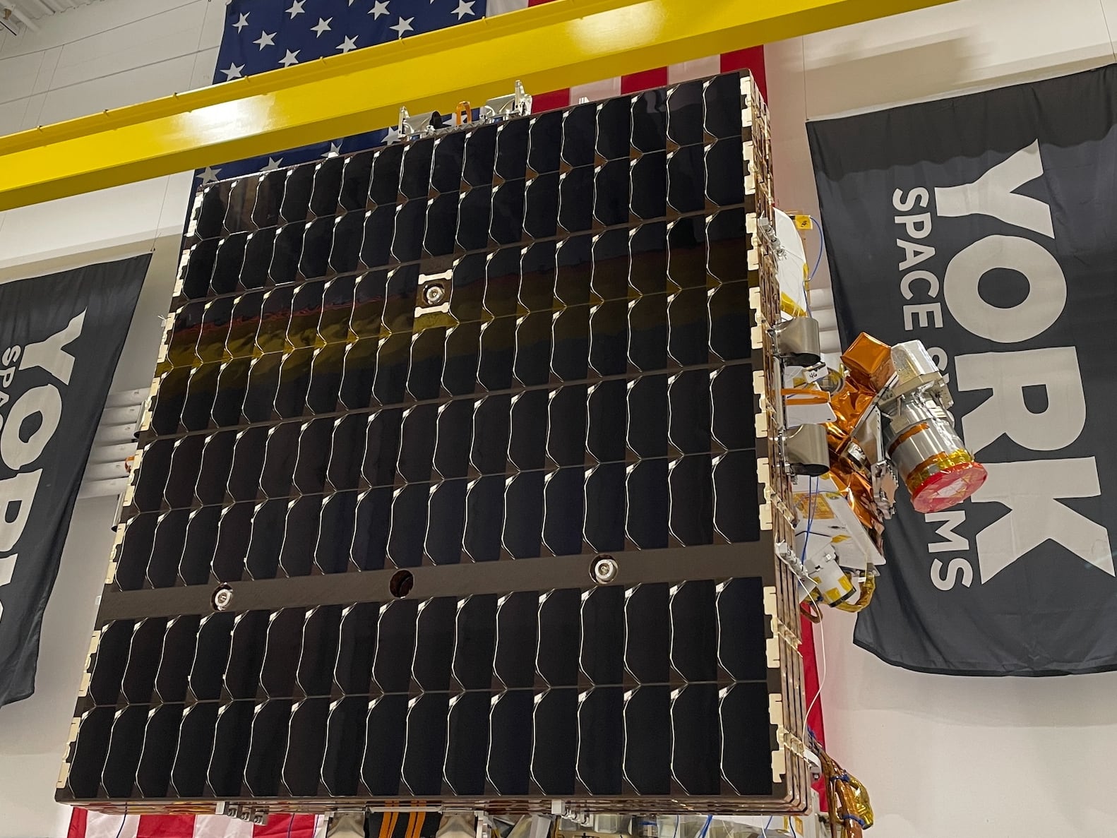
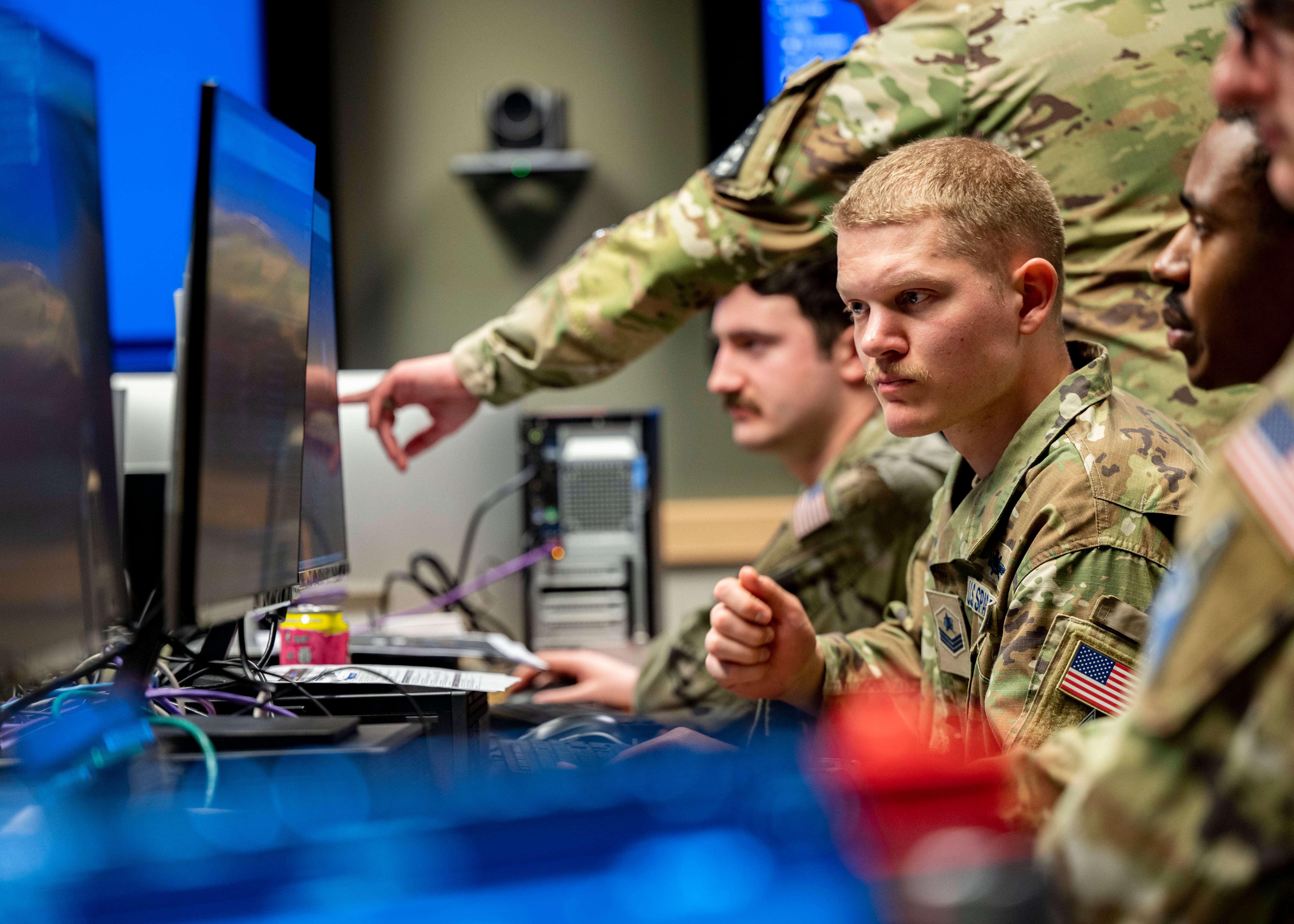
The intelligence community and military services have an imperative to share geospatial intelligence across domains and out to the tactical edge. The challenge of fast and accurate GEOINT sharing extends across the entire chain, from how it is collected to the ways it is displayed to the war fighter.
GEOINT sharing plays a key role in coalition military and humanitarian endeavors, as well as bolstering host-nation agreements. "As soon as a hostile event or crisis situation breaks out, there is an immediate desire to get intelligence, surveillance and reconnaissance of various types rapidly to the scene," said Lt Col Angela Giddings, commander of the Air Force 27th Intelligence Squadron and director of the Air Force Distributed Common Ground System (AF DCGS).
When the threat environment rapidly evolves, it often does so with a changing coalition of mission partners. "In this context, it is important to develop the right foreign disclosure guidance and templates for use across our global enterprise," Giddings said. "These can take time to properly develop and distribute, but we always pursue them with a sense of urgency."
Today's environment necessitates a quicker pace to the sharing of both raw and processed intelligence, and places a premium on multi-intelligence integration. "Geography and [geographic information system] are an ideal platform for the integration of intel, and the goal is to get as close to real time as is possible such that commanders can begin to execute inside the enemy's decision cycle," said Brian Lehman, director of defense solutions at Esri. "Much of the current fight involves actors who do not conform to traditional methods of military planning and execution and are not encumbered by rules of engagement."
The National Geospatial-Intelligence Agency is the main provider of foundational content, primarily in digital form. "They are shifting [the] focus back to supporting strategic analytic initiatives while continuing to [transition to] some more tactical and emergency-response missions," said Matt Fahle, managing director of Accenture Federal Services. Other government organizations, such as the combatant commands, offer talented analysts as well. "There are several geospatial communities, ranging from open source to mission partners, that over time have gotten better at sharing foundational data, as well as working together on common questions/issues for analysis," Fahle said.
Aiming for seamless sharing
DoD has made rapid seamless information sharing a priority. "The journey began with the DCGS Integration Backbone in 2003," said Jon Dorn, GEOINT intelligence, surveillance and reconnaissance technical lead for BAE Systems. "Through USD(I) [Undersecretary of Defense for Intelligence] and the Distribute Common Ground System-Architecture Focus Group, DoD is documenting the new standards for DoD GEOINT information sharing for all the DCGS family of systems."
For the last three years, USD(I) has made significant progress in achieving seamless GEOINT sharing. "In addition to publishing standards, USD(I) facilitates an annual event called the Defense Intelligence Information Enterprise Plugfest to prove the standards through actual mission thread demonstrations," Dorn said.
Security across different platforms is maintained by applying standardized controls and processes during platform development and implementation, as well as through continuous monitoring. "Categorization through the risk management framework ensures the right set of security controls are applied to the system/platform with things such as classification of the data, system vulnerabilities, and internal and external threats all considered as part of the assessment and authorization to operate," said Kevin Odom, chief of the Advanced Capability Communications Division of the National Intelligence Coordination Cell, 25th Air Force. "Bottom line: Standardized development and risk management processes assure security across varying platforms."
All of the controls that are used within the commercial space, including security policies, procedures, encryption, security metadata and other technologies, are also applicable to securing disparate GEOINT systems, Fahle said.
Trying new techniques
DoD has stepped up its investment in the development of enterprise-level cross-domain solutions based on both commerical- and government-off-the-shelf components, a move that helps intelligence sharing by promoting standardization. "A recent implementation supports both end users and applications, and provides more auditability than ever before," Fahle said. "Instead of costly and individual system-by-system solutions, now more robust and feature-full solutions can bring costs down, standardization and security up, and improve usability." Dorn noted that there is also an emerging business model shift away from buying systems that enable GEOINT processing exploitation and dissemination to purchasing GEOINT as a service.
Meanwhile, network infrastructure issues continue to frustrate plans for seamless intelligence sharing. "Determining what communication paths and processes are most suitable for precise, timely intel sharing can be a challenge if there is no established network in use by all partners supporting an emerging mission set," Giddings said. Even for established mission sets or conflicts, the process can be complicated, particularly when new partners need to obtain access. "These technical, informational and organizational considerations can make GEOINT sharing a challenge in a rapidly evolving environment, but the 480th ISR Wing works hard to overcome any challenge," Giddings said.
Sharing partners should also harmonize metadata standards for new ISR data types, as well as understand how the Intelligence Community Information Technology Enterprise can facilitate GEOINT sharing for disconnected, intermittent and limited networking environments, Dorn said. "Lastly, we need to design the capability for GEOINT sharing on mobile hardware platforms," he added.
Analytic workflows now include open-source data, which requires new ways of validating data accuracy and ensuring its timeliness and relevancy. "This applies not only to national security challenges, but also as it relates to emergency planning and operations during times of natural disaster, which leads to challenges with the policy and release-ability of the data," said Mike Griffith, regional manager, geospatial practice, at L-3 National Security Solutions. "For example, during a health emergency like the Ebola spread in Africa in 2014, the government did its best to transmit as much of the collected data to key personnel and responders in an unclassified manner," Griffith said. Nonetheless, despite the best efforts of all parties, some of the data could not be validated, he noted.
Retaining the experts
Budget pressures threaten to slow or stall GEOINT collection and sharing progress. Yet Fahle believes that funding challenges can also drive new and better solutions integration and deployment.
One of the biggest challenges facing intelligence sharing partners has been the flood of GEOINT talent pursuing interesting and high-paying jobs in the commercial market. "That significant increase in demand for GEOINT expertise in the commercial market space has pulled some of the best and brightest minds out of the defense and IC space," said Griffith. It will take years of effort, larger budgets and a significant cultural commitment to attract and retain qualified GEOINT experts, he noted.
Giddings, nonetheless, is impressed by her team's intelligence distribution abilities. "Regardless of whether the challenges they face are technical, informational or organizational, they unfailingly get the right intelligence to the right people at the right time," she said.