The Australian government and Lockheed Martin intend to demonstrate how to combine two different satellite navigation systems.
Lockheed Martin is partnering with the Geoscience Australia agency to combine signals from the Global Positioning System and the Galileo satellite constellation.
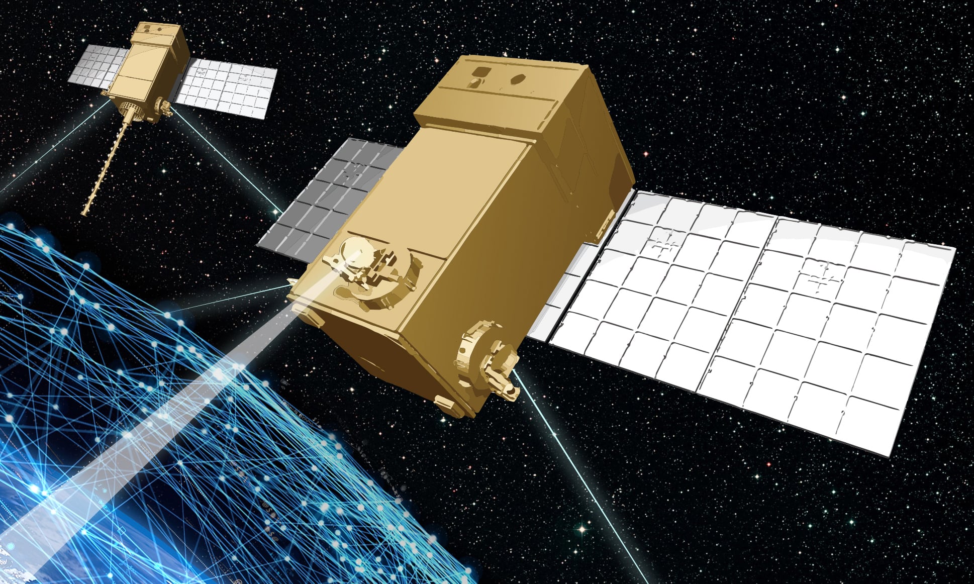
"This innovative research project aims to demonstrate how a second-generation Satellite-Based Augmentation System (SBAS) testbed can — for the first time — use signals from both the Global Positioning System (GPS) and the Galileo constellation, and dual frequencies, to achieve even greater GNSS integrity and accuracy," a Lockheed Martin news release said. "Over two years, the testbed will validate applications in nine industry sectors: agriculture, aviation, construction, maritime, mining, rail, road, spatial, and utilities."
Basic GNSS signals will be monitored by widely distributed reference stations operated by Geoscience Australia, said Lockheed Martin. A SBAS master station will collect that reference station data, compute corrections and integrity bounds for each GNSS satellite signal, and generate augmentation messages.
"A Lockheed Martin uplink antenna at Uralla, New South Wales will send these augmentation messages to an SBAS payload hosted aboard a geostationary Earth orbit satellite, owned by Inmarsat," said Rod Drury, director of international strategy and business development for Lockheed Martin's Space Systems division. "This satellite rebroadcasts the augmentation messages containing corrections and integrity data to the end users. The whole process takes less than six seconds."


Featured Video


